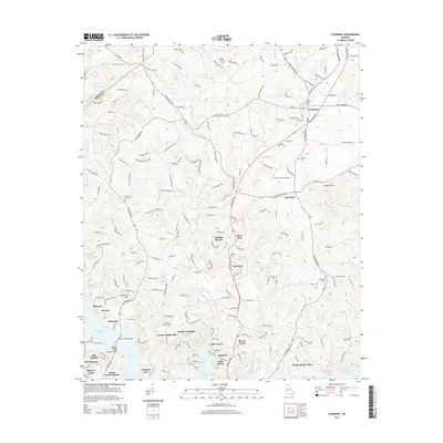
2014 Map of Clermont
USGS Topo · Published 2014About this map
Clermont sits at the northern edge of this study, marking a transition from the rolling Piedmont hills toward the developing residential finger-peninsulas of the upper Lake Sidney Lanier. This era shows a landscape where historic rural identifiers, such as Walka Mtn Cem and Mt Vernon Cem, coexist with modern recreational and residential expansions like Lake Haven and Lanier North Woods. The drainage of the W Fork Little River and E Fork Little River converges as it flows south toward the reservoir, defining the central geography. Notable infrastructure includes the Nopone Lookout Tower and the Fly-N-S Ranch Airport, reflecting a mix of forestry management and private aviation. The southern portion of the map is dominated by the intricate shoreline of the lake, where newer neighborhoods like Destitute Acres and Oak Harbor have emerged near the Wahoo Creek Bridge.
Find a feature on this map
179 named features on this map. Tap any name to fly to it.
Don’t see what you’re looking for? This feature index may not catch every label — zoom into the map to look around manually.
Map Details
Editions of this 2014 Clermont Map
This is the sole edition of this map. No revisions or reprints were ever made.
Other maps of this area

1886 · Dahlonega
USGS Topo · 1:125,000

1891 · Gainesville
USGS Topo · 1:125,000

1892 · Dahlonega
USGS Topo · 1:125,000

1896 · Dahlonega
USGS Topo · 1:125,000

1903 · Dahlonega
USGS Topo · 1:125,000

1951 · Cleveland
USGS Topo · 1:24,000
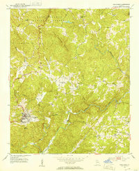
1951 · Dahlonega
USGS Topo · 1:24,000

1954 · Greenville
USGS Topo · 1:250,000

1958 · Greenville
USGS Topo · 1:250,000

1964 · Murrayville
USGS Topo · 1:24,000