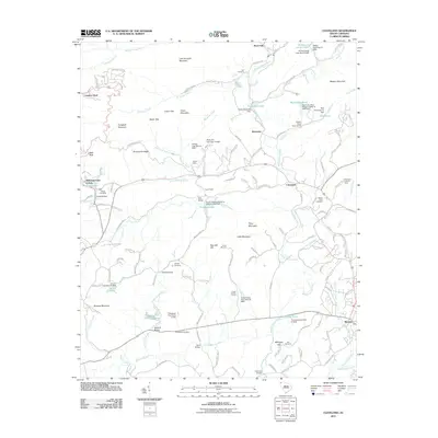
2011 Map of Cleveland
USGS Topo · Published 2011About this map
The Middle Saluda River and South Saluda River carve through this Upstate South Carolina landscape, defining the topography around the mountain communities of Cleveland and Marietta. This 2011 survey reveals a complex network of family-named landmarks and infrastructure, from the Cleveland Lookout Tower to numerous river crossings like Mayfield Bridge and Pace Bridge. The era's recreational footprint is visible through several established grounds, including Camp Marietta, Civitan Camp, and Camp Stanley Harris.
Find a feature on this map
154 named features on this map. Tap any name to fly to it.
Don’t see what you’re looking for? This feature index may not catch every label — zoom into the map to look around manually.
Map Details
Editions of this 2011 Cleveland Map
This is the sole edition of this map. No revisions or reprints were ever made.
Other maps of this area

1888 · Pickens
USGS Topo · 1:125,000

1894 · Pickens
USGS Topo · 1:125,000
1905 · Pisgah
USGS Topo · 1:125,000
1906 · Pisgah
USGS Topo · 1:125,000

1907 · Saluda
USGS Topo · 1:125,000
1935 · Brevard
USGS Topo · 1:24,000
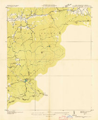
1935 · Standingstone Mtn.
USGS Topo · 1:24,000
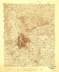
1935 · Greenville
USGS Topo · 1:48,000
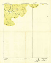
1935 · Table Rock
USGS Topo · 1:24,000
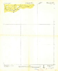
1935 · Zirconia
USGS Topo · 1:24,000