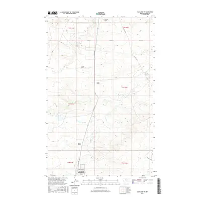
2017 Map of Cleveland NW
USGS Topo · Published 2017About this map
Nez Perce National Historical Park anchors the southern reaches of this landscape in Blaine County, marking a site of significant cultural and historical weight. The terrain is defined by a dense network of coulees and seasonal drainages, such as Sixmile Coulee, Willman Coulee, and Lonetree Coulee, which carve through the high plains. This map captures the modern infrastructure of a working rural landscape, where the Oil Field Loop suggests the localized energy extraction common in this part of Montana. Primary transit is facilitated by Cleveland Rd, connecting these remote coulee systems. Waterways like Snake Cr and Box Elder Cr indicate the natural drainage patterns that have historically dictated land use and ranching boundaries in the region.
Find a feature on this map
24 named features on this map. Tap any name to fly to it.
Don’t see what you’re looking for? This feature index may not catch every label — zoom into the map to look around manually.
Map Details
Editions of this 2017 Cleveland NW Map
This is the sole edition of this map. No revisions or reprints were ever made.
Other maps of this area

1904 · Yantic
USGS Topo · 1:62,500

1904 · Chinook
USGS Topo · 1:62,500

1912 · Zurich
USGS Topo · 1:125,000

1953 · Havre
USGS Topo · 1:250,000

1956 · Lloyd
USGS Topo · 1:62,500

1956 · Cleveland
USGS Topo · 1:62,500

1957 · Havre
USGS Topo · 1:250,000

1958 · Havre
USGS Topo · 1:250,000
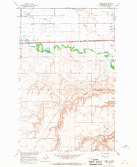
1964 · Lohman SE
USGS Topo · 1:24,000
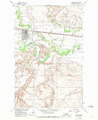
1964 · Chinook
USGS Topo · 1:24,000