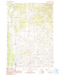
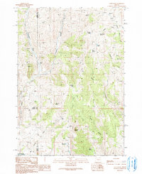
1990 Map of Clevenger Butte
USGS Topo · Published 1991About this map
The Holdout Cow Camp stands as a focal point of seasonal activity within this high-elevation landscape on the border of Grant and Malheur counties. Surveyed in the late 20th century, the terrain is defined by the headwaters of the Little Malheur River and the high peaks of Ironside Mountain and Clevenger Butte. This region, much of it contained within the Malheur National Forest, shows a complex drainage system where Bridge Creek and Deadwood Creek feed into the primary river valley. The map documents remote livestock infrastructure and traditional water sources such as Buck Trough Spring and Hunter Mountain Spring, illustrating the land's continued use for ranching and forest management. Significant landmarks like Sheep Rock and Lockhart Crossing provide essential orientation points for navigating this isolated section of the Oregon high country.
Find a feature on this map
19 named features on this map. Tap any name to fly to it.
Don’t see what you’re looking for? This feature index may not catch every label — zoom into the map to look around manually.
Map Details
Editions of this 1990 Clevenger Butte Map
This is the sole edition of this map. No revisions or reprints were ever made.
Other maps of this area

1908 · Ironside Mountain
USGS Topo · 1:125,000

1955 · Canyon City
USGS Topo · 1:250,000

1959 · Canyon City
USGS Topo · 1:250,000

1970 · Flag Prairie
USGS Topo · 1:62,500

1970 · Castle Rock
USGS Topo · 1:62,500
1972 · Bullrun Rock
USGS Topo · 1:24,000
1972 · Rastus Mtn
USGS Topo · 1:24,000
1972 · Eldorado Pass
USGS Topo · 1:24,000

1978 · John Day
USGS Topo · 1:100,000
1990 · Castle Rock
USGS Topo · 1:24,000