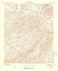
1940 Map of Clevenger
USGS Topo · Published 1940About this map
The French Broad River defines the northern boundary of this Tennessee landscape, winding past Swann Island and Taylor Bend before the river was significantly altered by mid-century dam projects. To the south, the massive rise of English Mountain dominates the horizon, crowned by a Lookout Tower and the high point of The Pinnacle. Between the river and the peaks, a network of rural communities such as Chestnut Hill and Reedtown is connected by winding valley roads and numerous small watercourses like Muddy Creek and Indian Creek.
Find a feature on this map
87 named features on this map. Tap any name to fly to it.
Don’t see what you’re looking for? This feature index may not catch every label — zoom into the map to look around manually.
Map Details
Editions of this 1940 Clevenger Map
2 editions found
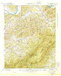
Other maps of this area

1883 · Morristown
USGS Topo · 1:125,000

1893 · Mt Guyot
USGS Topo · 1:125,000

1893 · Morristown
USGS Topo · 1:125,000

1895 · Morristown
USGS Topo · 1:125,000

1912 · Mt Guyot
USGS Topo · 1:125,000

1935 · Newport
USGS Topo · 1:48,000

1935 · White Pine
USGS Topo · 1:24,000

1935 · Hartford
USGS Topo · 1:24,000

1935 · English Mountain
USGS Topo · 1:48,000

1935 · Clevenger
USGS Topo · 1:24,000