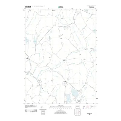
2010 Map of Clifford
USGS Topo · Published 2010About this map
Elk Hill dominates the central landscape of this Susquehanna County region, rising significantly above the surrounding network of glacial lakes and creek branches. The 2010 topography shows a community defined by its proximity to water, with Crystal Lake and Lake Idlewild serving as primary anchors for local settlement. Evidence of the area's deep-rooted history is found in the distribution of family and community burial grounds, such as Lyons Street Cemetery and the Burdick Cemetery.
Find a feature on this map
54 named features on this map. Tap any name to fly to it.
Don’t see what you’re looking for? This feature index may not catch every label — zoom into the map to look around manually.
Map Details
Editions of this 2010 Clifford Map
This is the sole edition of this map. No revisions or reprints were ever made.
Other maps of this area

1892 · Honesdale
USGS Topo · 1:62,500

1892 · Dundaff
USGS Topo · 1:62,500

1926 · Starrucca
USGS Topo · 1:62,500

1930 · Starrucca
USGS Topo · 1:48,000

1932 · Susquehanna
USGS Topo · 1:62,500

1933 · Starrucca
USGS Topo · 1:62,500

1935 · Susquehanna
USGS Topo · 1:62,500

1943 · Honesdale
USGS Topo · 1:125,000

1946 · Dalton
USGS Topo · 1:24,000

1946 · Forest City
USGS Topo · 1:24,000