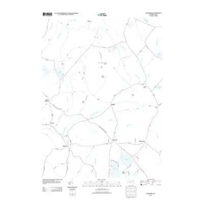
2013 Map of Clifford
USGS Topo · Published 2013About this map
Elk Hill dominates this Susquehanna County landscape, marked by its distinctive North Knob, South Knob, and the Elk Hill Fire Tower. The area is characterized by a series of small, long-standing settlements like Clifford, Dundaff, and Elkdale that serve as focal points for a network of country roads. The Milford and Owego Turnpike Rd cuts diagonally through the terrain, tracing a historical transportation route that connects West Clifford to the surrounding highlands.
Find a feature on this map
55 named features on this map. Tap any name to fly to it.
Don’t see what you’re looking for? This feature index may not catch every label — zoom into the map to look around manually.
Map Details
Editions of this 2013 Clifford Map
This is the sole edition of this map. No revisions or reprints were ever made.
Other maps of this area

1892 · Honesdale
USGS Topo · 1:62,500

1892 · Dundaff
USGS Topo · 1:62,500

1926 · Starrucca
USGS Topo · 1:62,500

1930 · Starrucca
USGS Topo · 1:48,000

1932 · Susquehanna
USGS Topo · 1:62,500

1933 · Starrucca
USGS Topo · 1:62,500

1935 · Susquehanna
USGS Topo · 1:62,500

1943 · Honesdale
USGS Topo · 1:125,000

1946 · Dalton
USGS Topo · 1:24,000

1946 · Forest City
USGS Topo · 1:24,000