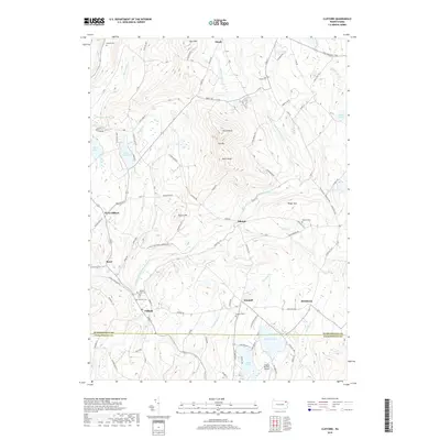
2019 Map of Clifford
USGS Topo · Published 2019About this map
The boundary between Susquehanna and Lackawanna counties bisects this landscape, dominated by the prominent heights of Elk Hill with its North Knob and South Knob peaks. The settlement of Clifford serves as a local hub near the East-Branch Tunkhannock Creek, while the historic community of Dundaff sits further east, once a significant stop on early turnpikes.
Find a feature on this map
102 named features on this map. Tap any name to fly to it.
Don’t see what you’re looking for? This feature index may not catch every label — zoom into the map to look around manually.
Map Details
Editions of this 2019 Clifford Map
This is the sole edition of this map. No revisions or reprints were ever made.
Other maps of this area

1892 · Honesdale
USGS Topo · 1:62,500

1892 · Dundaff
USGS Topo · 1:62,500

1926 · Starrucca
USGS Topo · 1:62,500

1930 · Starrucca
USGS Topo · 1:48,000

1932 · Susquehanna
USGS Topo · 1:62,500

1933 · Starrucca
USGS Topo · 1:62,500

1935 · Susquehanna
USGS Topo · 1:62,500

1943 · Honesdale
USGS Topo · 1:125,000

1946 · Dalton
USGS Topo · 1:24,000

1946 · Forest City
USGS Topo · 1:24,000