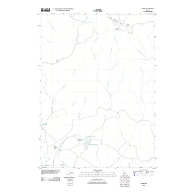
2010 Map of Cliffs
USGS Topo · Published 2010About this map
South Mountain anchors the high country of Owyhee County, where a cluster of historic mining claims marks the landscape's industrial past. This 2010 survey details the rugged drainage systems feeding into the Juniper Creek and Wilson Creek basins, illustrating a remote region defined by high-altitude ranching and mineral exploration. The settlement of Cliffs serves as a central point of orientation, situated near the Cliffs Landing Strip and the unimproved tracks of Deep Creek Rd.
Find a feature on this map
33 named features on this map. Tap any name to fly to it.
Don’t see what you’re looking for? This feature index may not catch every label — zoom into the map to look around manually.
Map Details
Editions of this 2010 Cliffs Map
This is the sole edition of this map. No revisions or reprints were ever made.
Other maps of this area

1955 · Jordan Valley
USGS Topo · 1:250,000

1957 · Jordan Valley
USGS Topo · 1:250,000

1958 · Jordan Valley
USGS Topo · 1:250,000

1965 · Flint Creek
USGS Topo · 1:62,500

1973 · Indian Meadows
USGS Topo · 1:24,000

1973 · Pleasant Valley
USGS Topo · 1:24,000

1973 · Fairylawn
USGS Topo · 1:24,000

1973 · Cliffs
USGS Topo · 1:24,000

1980 · Brewster Reservoir
USGS Topo · 1:24,000

1980 · Juniper Point
USGS Topo · 1:24,000