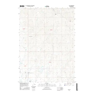
2017 Map of Cliffs
USGS Topo · Published 2017About this map
Cliffs anchors this high-elevation landscape in Owyhee County, situated at the junction of Deep Creek Rd and Juniper Mountain Loop Rd. The settlement is closely associated with Canyon Airport, providing a remote aviation link to the surrounding plateau. The water management of the region is defined by several strategically placed reservoirs, including Dougal Reservoir, Whitby Reservoir, Anderson Reservoir, and Forster Reservoir, which support local needs across the high desert terrain.
Find a feature on this map
36 named features on this map. Tap any name to fly to it.
Don’t see what you’re looking for? This feature index may not catch every label — zoom into the map to look around manually.
Map Details
Editions of this 2017 Cliffs Map
This is the sole edition of this map. No revisions or reprints were ever made.
Other maps of this area

1955 · Jordan Valley
USGS Topo · 1:250,000

1957 · Jordan Valley
USGS Topo · 1:250,000

1958 · Jordan Valley
USGS Topo · 1:250,000

1965 · Flint Creek
USGS Topo · 1:62,500

1973 · Indian Meadows
USGS Topo · 1:24,000

1973 · Pleasant Valley
USGS Topo · 1:24,000

1973 · Fairylawn
USGS Topo · 1:24,000

1973 · Cliffs
USGS Topo · 1:24,000

1980 · Brewster Reservoir
USGS Topo · 1:24,000

1980 · Juniper Point
USGS Topo · 1:24,000