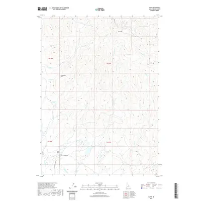
2020 Map of Cliffs
USGS Topo · Published 2020About this map
South Mtn rises above the Owyhee high desert, anchoring a landscape where small-scale ranching and remote aviation define the modern era. The settlement of Cliffs is situated at a tactical junction where Deep Creek Rd meets the Juniper Mountain Loop Rd, serving as a vital waypoint in a region defined by scattered water sources and rugged drainages. Water management is critical in this environment, evidenced by Whitby Reservoir and numerous named springs like Corta Spring, Dave Shea Spring, and Dougherty Springs that sustain local livestock and wildlife.
Find a feature on this map
31 named features on this map. Tap any name to fly to it.
Don’t see what you’re looking for? This feature index may not catch every label — zoom into the map to look around manually.
Map Details
Editions of this 2020 Cliffs Map
This is the sole edition of this map. No revisions or reprints were ever made.
Other maps of this area

1955 · Jordan Valley
USGS Topo · 1:250,000

1957 · Jordan Valley
USGS Topo · 1:250,000

1958 · Jordan Valley
USGS Topo · 1:250,000

1965 · Flint Creek
USGS Topo · 1:62,500

1973 · Indian Meadows
USGS Topo · 1:24,000

1973 · Pleasant Valley
USGS Topo · 1:24,000

1973 · Fairylawn
USGS Topo · 1:24,000

1973 · Cliffs
USGS Topo · 1:24,000

1980 · Brewster Reservoir
USGS Topo · 1:24,000

1980 · Juniper Point
USGS Topo · 1:24,000