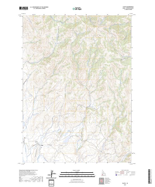
2023 Map of Cliffs
USGS Topo · Published 2023About this map
Cliffs and the surrounding high-desert ranchlands of Owyhee County are captured here in this modern study of Idaho's southwestern corner. The landscape is defined by its water management and sparse aviation infrastructure, anchored by Canyon Airport and the Whitby Reservoir near the junction of Deep Creek Rd and Juniper Mountain Loop Rd. Numerous family-named springs and drainages, including Dougherty Springs and Dave Shea Spring, indicate the historical importance of water rights in this arid terrain.
Find a feature on this map
32 named features on this map. Tap any name to fly to it.
Don’t see what you’re looking for? This feature index may not catch every label — zoom into the map to look around manually.
Map Details
Editions of this 2023 Cliffs Map
This is the sole edition of this map. No revisions or reprints were ever made.
Other maps of this area

1955 · Jordan Valley
USGS Topo · 1:250,000

1957 · Jordan Valley
USGS Topo · 1:250,000

1958 · Jordan Valley
USGS Topo · 1:250,000

1965 · Flint Creek
USGS Topo · 1:62,500

1973 · Indian Meadows
USGS Topo · 1:24,000

1973 · Pleasant Valley
USGS Topo · 1:24,000

1973 · Fairylawn
USGS Topo · 1:24,000

1973 · Cliffs
USGS Topo · 1:24,000

1980 · Brewster Reservoir
USGS Topo · 1:24,000

1980 · Juniper Point
USGS Topo · 1:24,000