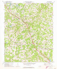
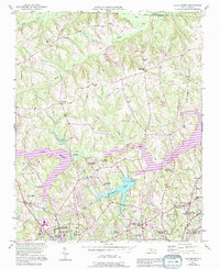
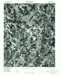
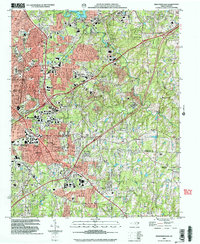
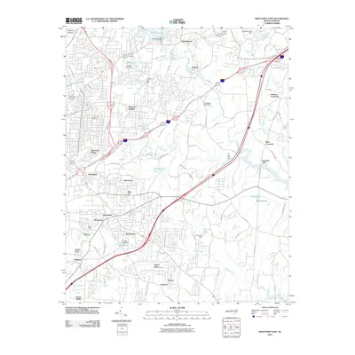
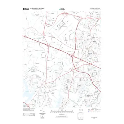
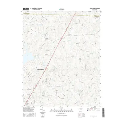
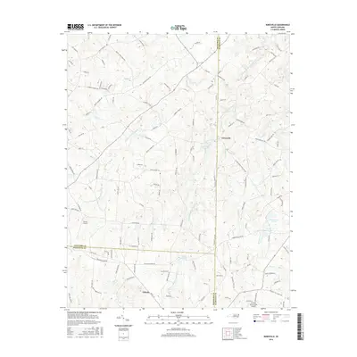
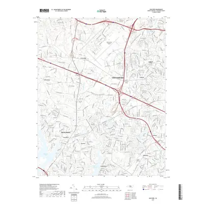
1970 Map of Climax
USGS Topo · Published 1973About this map
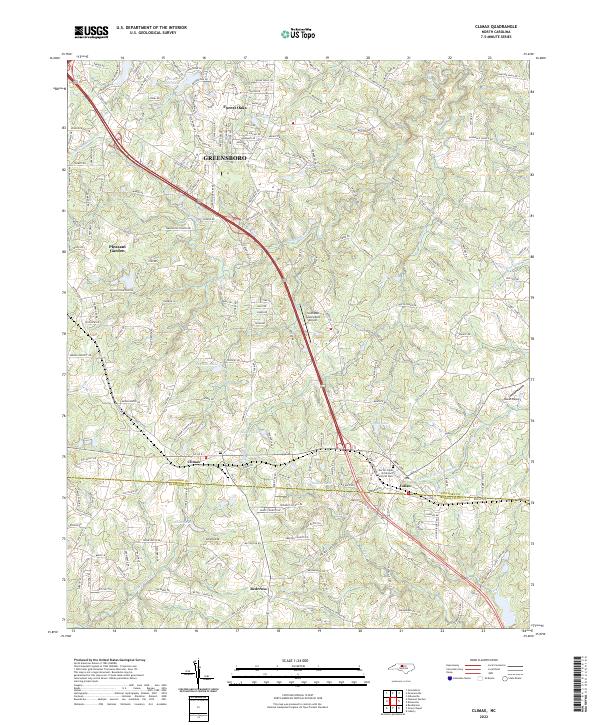
The borderlands of the Guilford and Randolph County line reveal a landscape transitioning from rural crossroads to suburban development in the early 1970s. The settlement at Climax and the community of Julian serve as central nodes, anchored by the Southern railroad line that cuts through the rolling Piedmont terrain. Local social history is deeply rooted in numerous rural congregations such as St Johns Ch, Bethlehem Ch, and Tabernacle Ch, many with associated burial grounds like the Bethel Ch Cem.
Find a feature on this map
34 named features on this map. Tap any name to fly to it.
Don’t see what you’re looking for? This feature index may not catch every label — zoom into the map to look around manually.
Map Details
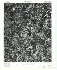
Editions of this 1970 Climax Map
2 editions found
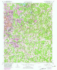
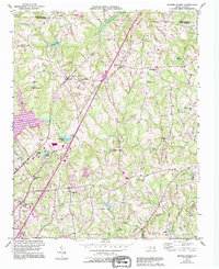
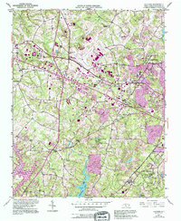
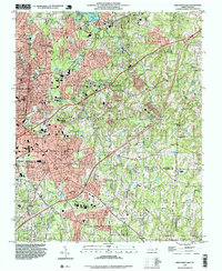
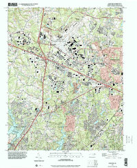
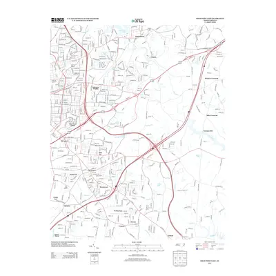
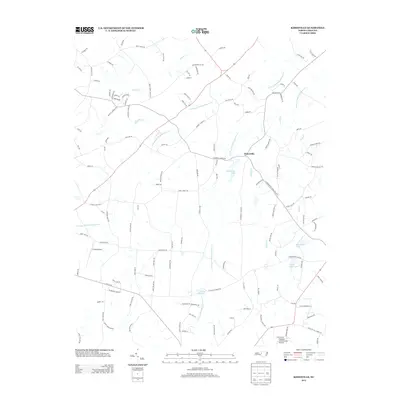
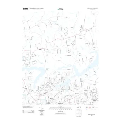
Historical Maps of Greensboro Through Time
43 maps found
1950 High Point East
Guilford County, NC
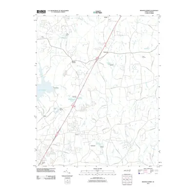
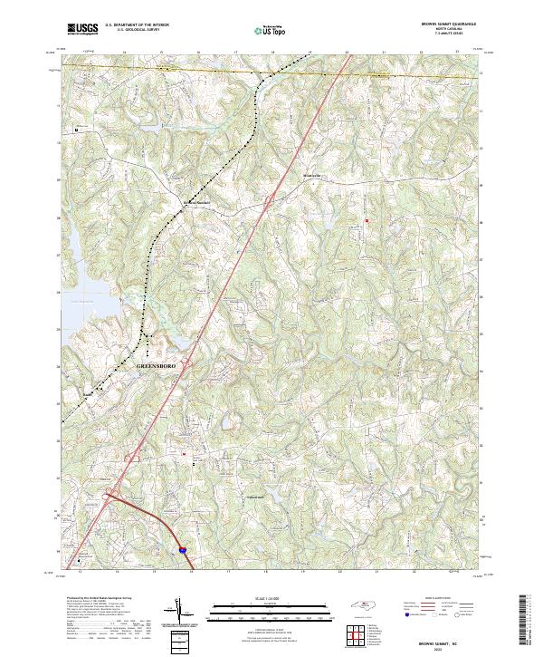
1951 Browns Summit
Guilford County, NC
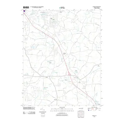
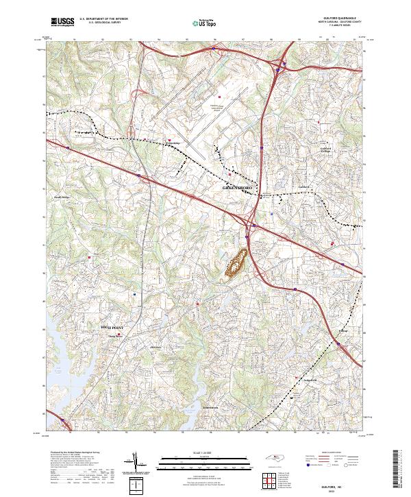
1951 Guilford
Guilford County, NC

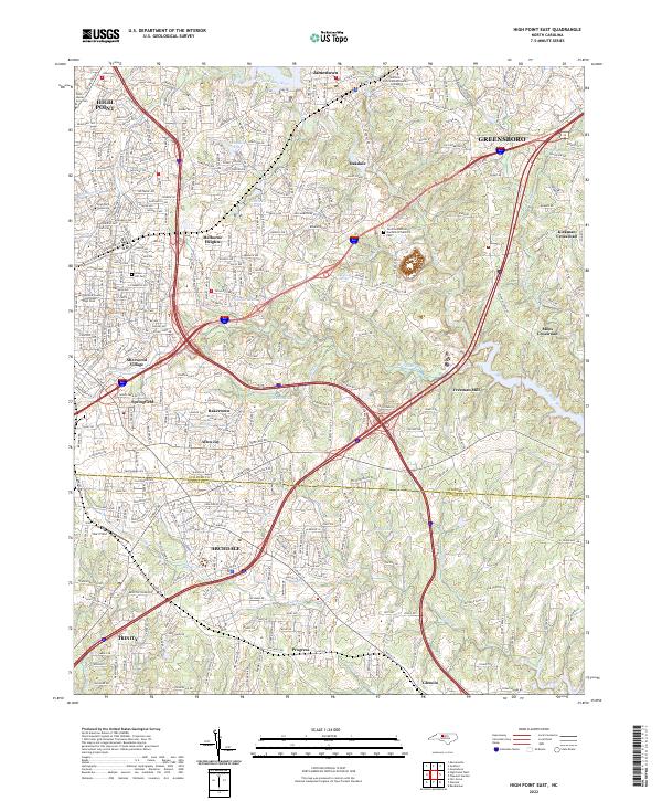
1951 High Point East
Guilford County, NC
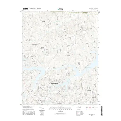
1951 Lake Brandt
Guilford County, NC
1952 Mc Leansville
Guilford County, NC
1970 Climax
Guilford County, NC
1970 Kimesville
Guilford County, NC
1977 Guilford
Guilford County, NC
1977 Mc Leansville
Guilford County, NC
1993 High Point East
Guilford County, NC
1997 Guilford
Guilford County, NC
2002 High Point East
Guilford County, NC
2010 Browns Summit
Guilford County, NC
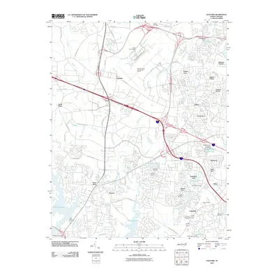
2010 Climax
Guilford County, NC
2010 Guilford
Guilford County, NC
2010 High Point East
Guilford County, NC

2010 Kimesville
Guilford County, NC
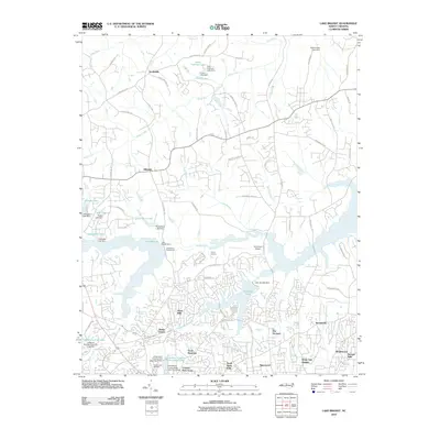
2010 Lake Brandt
Guilford County, NC
2013 Browns Summit
Guilford County, NC
2013 Climax
Guilford County, NC
2013 Guilford
Guilford County, NC
2013 High Point East
Guilford County, NC
2013 Kimesville
Guilford County, NC
2013 Lake Brandt
Guilford County, NC
2016 Browns Summit
Guilford County, NC
2016 Climax
Guilford County, NC
2016 Guilford
Guilford County, NC
2016 High Point East
Guilford County, NC
2016 Kimesville
Guilford County, NC
2016 Lake Brandt
Guilford County, NC
2019 Browns Summit
Guilford County, NC
2019 Climax
Guilford County, NC
2019 Guilford
Guilford County, NC
2019 High Point East
Guilford County, NC
2019 Kimesville
Guilford County, NC
2019 Lake Brandt
Guilford County, NC
2022 Browns Summit
Guilford County, NC
2022 Climax
Guilford County, NC
2022 Guilford
Guilford County, NC
2022 High Point East
Guilford County, NC
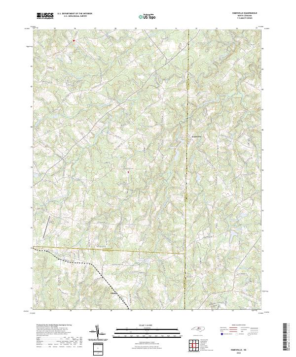
2022 Kimesville
Guilford County, NC
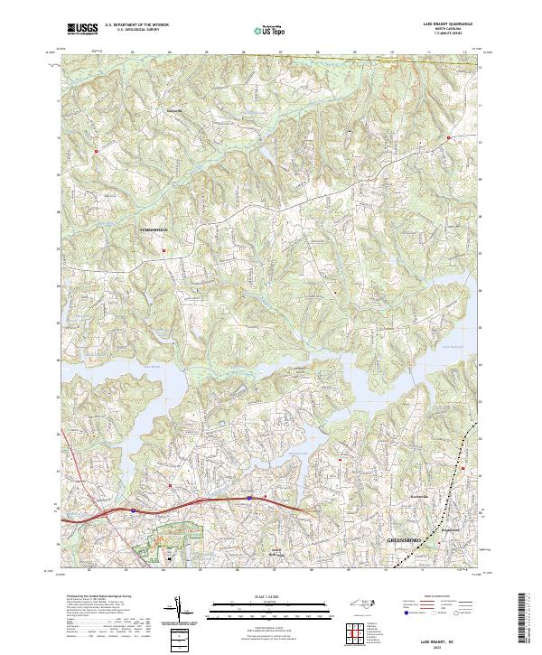
2023 Lake Brandt
Guilford County, NC