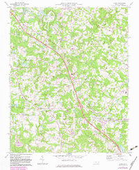
1970 Map of Climax
USGS Topo · Published 1983About this map
Climax and Julian serve as the primary nodes of development along the Southern rail line in this 1970 study of the North Carolina Piedmont. The landscape is defined by the headwaters of numerous drainages, including Big Alamance Creek and Stinking Quarter Creek, which carve a rolling topography through the Guilford and Randolph county line. Local community life is anchored by numerous rural congregations such as St Johns Ch, Julian Hill Ch, and Shiloh Ch, while the northern portion of the sheet shows the encroaching suburban infrastructure of Southeast High Sch and a local Sewage Disposal plant. The region's aviation and recreation are represented by the May Airport, Southeast Greensboro Airport, and the expansive Hagan-Stone Park, reflecting a mid-century period of diversification from traditional agriculture.
Find a feature on this map
36 named features on this map. Tap any name to fly to it.
Don’t see what you’re looking for? This feature index may not catch every label — zoom into the map to look around manually.
Map Details
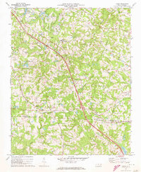
Editions of this 1970 Climax Map
2 editions found
Other maps of this area

1951 · Greensboro
USGS Topo · 1:24,000

1952 · Mc Leansville
USGS Topo · 1:24,000

1953 · Raleigh
USGS Topo · 1:250,000

1953 · Greensboro
USGS Topo · 1:250,000

1954 · Greensboro
USGS Topo · 1:250,000

1954 · Raleigh
USGS Topo · 1:250,000

1962 · Greensboro
USGS Topo · 1:250,000

1966 · Greensboro
USGS Topo · 1:250,000

1970 · Gibsonville
USGS Topo · 1:24,000

1970 · Kimesville
USGS Topo · 1:24,000