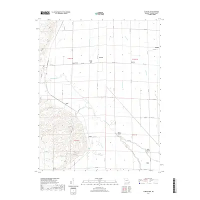
2017 Map of Clines Island
USGS Topo · Published 2017About this map
Clines Island and Birds Corner anchor this portion of Stoddard County, where the transition between the Ozark foothills and the Mississippi Alluvial Plain is clearly defined. The Upper Castor River meanders through the center of the sheet, flanked by a complex system of drainage infrastructure including Ditch Number 30, Ditch Number 33, and Ditch Number 34. This network, along with Bess Slough and Mud Slough, illustrates the extensive hydrological engineering required to manage the low-lying agricultural lands of the Missouri Bootheel region.
Find a feature on this map
67 named features on this map. Tap any name to fly to it.
Don’t see what you’re looking for? This feature index may not catch every label — zoom into the map to look around manually.
Map Details
Editions of this 2017 Clines Island Map
This is the sole edition of this map. No revisions or reprints were ever made.
Other maps of this area

1931 · Sikeston
USGS Topo · 1:62,500

1934 · Morley
USGS Topo · 1:62,500

1934 · Bloomfield
USGS Topo · 1:62,500

1934 · Sikeston
USGS Topo · 1:62,500

1934 · Advance
USGS Topo · 1:62,500

1939 · Bloomfield
USGS Topo · 1:62,500

1939 · Sikeston
USGS Topo · 1:62,500

1939 · Morley
USGS Topo · 1:62,500

1939 · Advance
USGS Topo · 1:62,500

1949 · Paducah
USGS Topo · 1:250,000