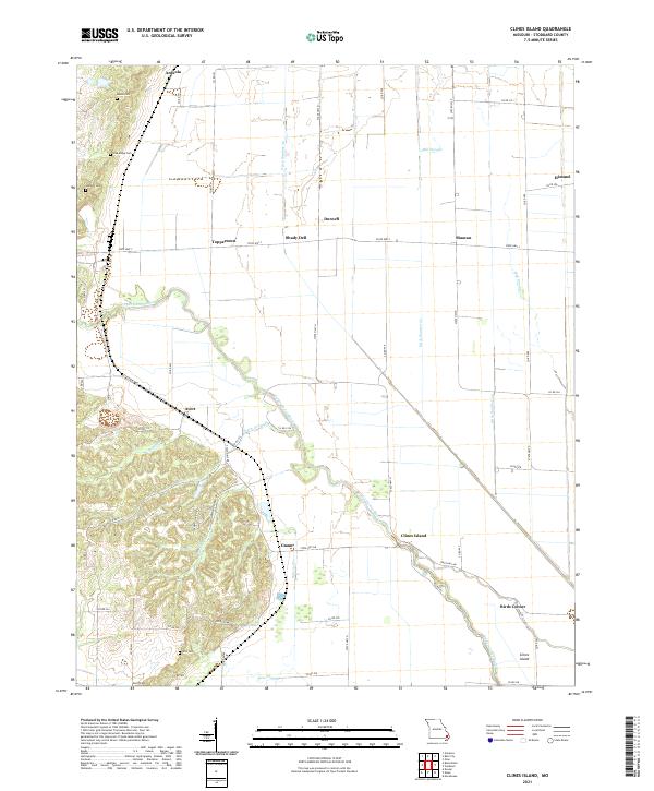
2021 Map of Clines Island
USGS Topo · Published 2021About this map
The Upper Castor River winds through this section of Stoddard County, defining a landscape of low-lying agricultural plains interspersed with small rural hamlets. The map documents a network of drainage infrastructure essential to the region's development, including Ditch Number 30 and Mill Slough, which illustrate the intensive engineering used to manage the local water table for farming. Small clusters of settlement like Ardeola, Himmel, and Clines Island are connected by a grid of state highways and county roads, while several cemeteries such as Moore Cem and Oak Ridge Cem mark the heritage of local families in the northwestern uplands. In the south, the terrain flattens near Bess Slough and Birds Corner, where the landscape transitions into the broader Mississippi alluvial plain.
Find a feature on this map
62 named features on this map. Tap any name to fly to it.
Don’t see what you’re looking for? This feature index may not catch every label — zoom into the map to look around manually.
Map Details
Editions of this 2021 Clines Island Map
This is the sole edition of this map. No revisions or reprints were ever made.
Other maps of this area

1931 · Sikeston
USGS Topo · 1:62,500

1934 · Morley
USGS Topo · 1:62,500

1934 · Bloomfield
USGS Topo · 1:62,500

1934 · Sikeston
USGS Topo · 1:62,500

1934 · Advance
USGS Topo · 1:62,500

1939 · Bloomfield
USGS Topo · 1:62,500

1939 · Sikeston
USGS Topo · 1:62,500

1939 · Morley
USGS Topo · 1:62,500

1939 · Advance
USGS Topo · 1:62,500

1949 · Paducah
USGS Topo · 1:250,000