2022 Map of Clint
USGS Topo · Published 2022About this map
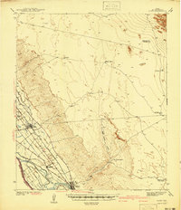
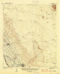
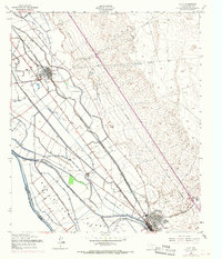
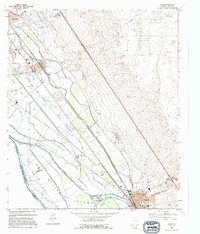
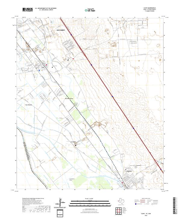
Socorro and the neighboring agricultural communities of the El Paso Valley are defined by an intricate network of irrigation and drainage infrastructure. This survey illustrates the reliance on the Rio Grande and its associated waterways, such as the Riverside Canal and Island Main Lateral, which transform the arid landscape into a productive riverine corridor. The maps detail the southern boundary of the United States of America Estados Unidos Mexicanos, emphasizing the proximity of these settlements to the international border.
Find a feature on this map
150 named features on this map. Tap any name to fly to it.
Don’t see what you’re looking for? This feature index may not catch every label — zoom into the map to look around manually.
Map Details
Editions of this 2022 Clint Map
This is the sole edition of this map. No revisions or reprints were ever made.
Historical Maps of Morning Glory Through Time
5 maps found