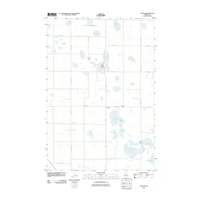
2010 Map of Clinton
USGS Topo · Published 2010About this map
Eli Lake and the town of Clinton sit at the center of this Big Stone County landscape, where the prairie is defined by a dense network of glacial lakes and sloughs. The settlement pattern is anchored by the Clinton Post Office and a grid of well-maintained county highways that connect local homesteads to rural spiritual and memorial sites. Genealogists will find significant value in the distribution of several family and community burial grounds, including Saint Pauli Cemetery and Long Island Cemetery, which are dispersed throughout the agricultural blocks north and south of the town center. The eastern portion of the quadrangle transitions into a more water-intensive terrain, featuring Thielke Lake, Munnwyler Lake, and Bentsen Lake. This 2010 survey by the U.S. Geological Survey captures the enduring rural character of the region, where the naming of features like Bassett Slough and Swenson Lake reflects the local heritage and geography of western Minnesota.
Find a feature on this map
26 named features on this map. Tap any name to fly to it.
Don’t see what you’re looking for? This feature index may not catch every label — zoom into the map to look around manually.
Map Details
Editions of this 2010 Clinton Map
This is the sole edition of this map. No revisions or reprints were ever made.
Other maps of this area

1916 · Beardsley
USGS Topo · 1:62,500

1918 · Beardsley
USGS Topo · 1:62,500

1950 · Graceville
USGS Topo · 1:62,500

1953 · Ortonville
USGS Topo · 1:62,500

1953 · Milbank
USGS Topo · 1:250,000

1954 · Big Stone Lake
USGS Topo · 1:62,500

1958 · Milbank
USGS Topo · 1:250,000

1971 · Big Stone Lake East
USGS Topo · 1:24,000

1971 · Dismal Swamp
USGS Topo · 1:24,000

1971 · Odessa
USGS Topo · 1:24,000