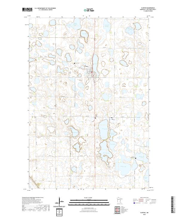
2022 Map of Clinton
USGS Topo · Published 2022About this map
Glacial depressions and prairie wetlands dominate the landscape around Clinton, where the grid of rural roads navigates an intricate network of lakes and sloughs. This modern survey illustrates the density of these water bodies, ranging from the large Lysing Lake and Thielke Lake to smaller features like Eli Lake and Cup Lake. The agricultural character of Big Stone County is reflected in the rectilinear section lines and numerous farm-to-market roads such as Co HWY 6 and 330th Ave.
Find a feature on this map
49 named features on this map. Tap any name to fly to it.
Don’t see what you’re looking for? This feature index may not catch every label — zoom into the map to look around manually.
Map Details
Editions of this 2022 Clinton Map
This is the sole edition of this map. No revisions or reprints were ever made.
Other maps of this area

1916 · Beardsley
USGS Topo · 1:62,500

1918 · Beardsley
USGS Topo · 1:62,500

1950 · Graceville
USGS Topo · 1:62,500

1953 · Ortonville
USGS Topo · 1:62,500

1953 · Milbank
USGS Topo · 1:250,000

1954 · Big Stone Lake
USGS Topo · 1:62,500

1958 · Milbank
USGS Topo · 1:250,000

1971 · Big Stone Lake East
USGS Topo · 1:24,000

1971 · Dismal Swamp
USGS Topo · 1:24,000

1971 · Odessa
USGS Topo · 1:24,000