Loading...
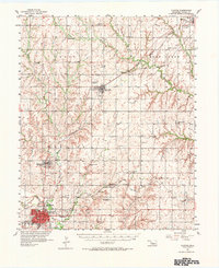
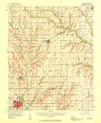
Loading map...1957 Map of Clinton
USGS Topo · Published 1974About this map
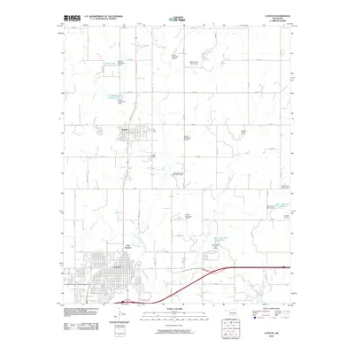
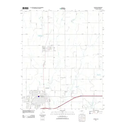
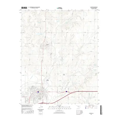
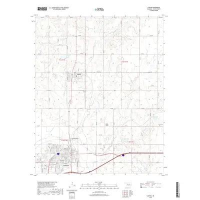
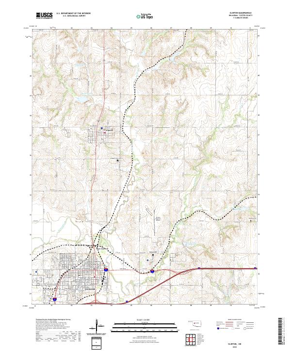
The Washita River valley serves as the anchor for this mid-century survey of Custer County, where the city of Clinton has emerged as a major regional hub. The landscape is defined by a dense network of transit and local infrastructure, including the Clinton Airport and a meeting point of three major rail lines: the Atchison Topeka and Santa Fe, the St Louis and San Francisco, and the Chicago Rock Island and Pacific.
Find a feature on this map
44 named features on this map. Tap any name to fly to it.
Don’t see what you’re looking for? This feature index may not catch every label — zoom into the map to look around manually.
Map Details
Date Portrayed1957
Date Published1974
PublisherU.S. Geological Survey
Map TypeTopographic
Scale1:62,500
Physical Dimensions18 x 22.1 inches
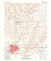
Editions of this 1957 Clinton Map
2 editions found
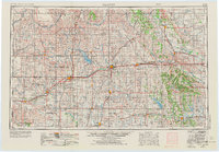
Historical Maps of Clinton Through Time
9 maps found

Featured Locations
Source Details
SourceU.S. Geological Survey
CopyrightPublic Domain