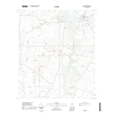
2020 Map of Clinton
USGS Topo · Published 2020About this map
Clinton serves as the focal point of this East Feliciana Parish landscape, where the East Feliciana Parish Courthouse stands as a central historic landmark. The surrounding countryside is defined by an intricate network of waterways, including the winding course of the Comite River and its many tributaries such as Monahan Bayou, Bell Bayou, and Schlei Bayou. The settlement patterns here reveal small communities like Grays, Battle, and Browns connected by a web of parish roads and modern arteries like the Zachary Taylor Pkwy.
Find a feature on this map
97 named features on this map. Tap any name to fly to it.
Don’t see what you’re looking for? This feature index may not catch every label — zoom into the map to look around manually.
Map Details
Editions of this 2020 Clinton Map
This is the sole edition of this map. No revisions or reprints were ever made.
Other maps of this area

1906 · Bayou Sara
USGS Topo · 1:125,000

1939 · Zachary
USGS Topo · 1:62,500

1941 · Woodland
USGS Topo · 1:31,680

1941 · Norwood
USGS Topo · 1:31,680

1941 · Lost Creek
USGS Topo · 1:31,680

1942 · Pride
USGS Topo · 1:31,680

1945 · Norwood
USGS Topo · 1:31,680

1945 · Jackson
USGS Topo · 1:31,680

1945 · Lost Creek
USGS Topo · 1:31,680

1946 · Clinton
USGS Topo · 1:31,680