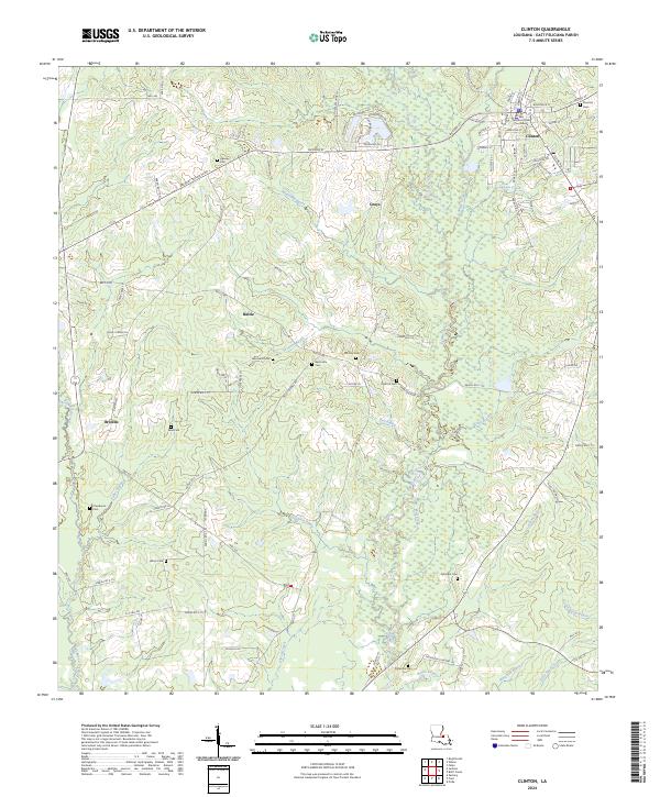
2024 Map of Clinton
USGS Topo · Published 2024About this map
Clinton serves as the focal point of this East Feliciana Parish landscape, where the East Feliciana Parish Courthouse stands as a central landmark amidst a grid of streets like Jackson St and Railroad St. The surrounding terrain is defined by a dense network of waterways, including the Comite River and numerous bayous such as Monahan Bayou, Bell Bayou, and Knighton Bayou. These watercourses carve through a region dotted with small settlements like Grays, Battle, and Browns.
Find a feature on this map
108 named features on this map. Tap any name to fly to it.
Don’t see what you’re looking for? This feature index may not catch every label — zoom into the map to look around manually.
Map Details
Editions of this 2024 Clinton Map
This is the sole edition of this map. No revisions or reprints were ever made.
Other maps of this area

1906 · Bayou Sara
USGS Topo · 1:125,000

1939 · Zachary
USGS Topo · 1:62,500

1941 · Woodland
USGS Topo · 1:31,680

1941 · Norwood
USGS Topo · 1:31,680

1941 · Lost Creek
USGS Topo · 1:31,680

1942 · Pride
USGS Topo · 1:31,680

1945 · Norwood
USGS Topo · 1:31,680

1945 · Jackson
USGS Topo · 1:31,680

1945 · Lost Creek
USGS Topo · 1:31,680

1946 · Clinton
USGS Topo · 1:31,680