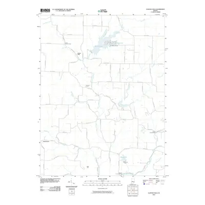
2010 Map of Clinton Falls
USGS Topo · Published 2010About this map
Little Walnut Creek and Big Walnut Creek define the drainage of this central Indiana landscape, where small rural settlements like Clinton Falls and Brunerstown are connected by a grid of county roads. The area is notable for its preservation of timber crossings, including the Collins Covered Bridge in the north and the Oakalla Covered Bridge near Oakalla Lake in the south. These structures reflect an enduring local heritage of bridge-building that predates the modern reservoir developments.
Find a feature on this map
72 named features on this map. Tap any name to fly to it.
Don’t see what you’re looking for? This feature index may not catch every label — zoom into the map to look around manually.
Map Details
Editions of this 2010 Clinton Falls Map
This is the sole edition of this map. No revisions or reprints were ever made.
Other maps of this area

1950 · Brazil East
USGS Topo · 1:24,000

1951 · Clinton Falls
USGS Topo · 1:24,000

1951 · Mansfield
USGS Topo · 1:24,000

1952 · Reelsville
USGS Topo · 1:24,000

1953 · Indianapolis
USGS Topo · 1:250,000

1955 · Russellville
USGS Topo · 1:24,000

1956 · Indianapolis
USGS Topo · 1:250,000

1956 · Cloverdale
USGS Topo · 1:24,000

1957 · Indianapolis
USGS Topo · 1:250,000

1958 · Roachdale
USGS Topo · 1:24,000