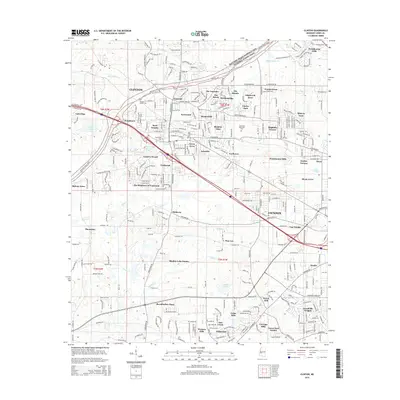
2015 Map of Clinton
USGS Topo · Published 2015About this map
Mississippi College and its historic core serve as the anchor for this central Mississippi landscape, where suburban growth meets the preservation of the Natchez Trace Pkwy and National Scenic Trail. The map reveals a dense network of neighborhoods such as Woodmoor, Byrd Heights, and The Cascades, reflecting the expansion of Clinton toward the Jackson city line. Local history is preserved in several burial sites, including the Clinton Cem, Odd Fellows Cem, and the family-named Meade Cem near Natchez Trace Pkwy. The terrain is defined by the winding paths of Bakers Cr and Lynch Cr, which separate the established college town from emerging residential developments like Presidential Hills and Dixon Acres to the east.
Find a feature on this map
310 named features on this map. Tap any name to fly to it.
Don’t see what you’re looking for? This feature index may not catch every label — zoom into the map to look around manually.
Map Details
Editions of this 2015 Clinton Map
This is the sole edition of this map. No revisions or reprints were ever made.
Other maps of this area

1903 · Jackson
USGS Topo · 1:125,000

1905 · Jackson
USGS Topo · 1:48,000

1906 · Florence
USGS Topo · 1:62,500

1908 · Jackson
USGS Topo · 1:62,500

1908 · Florence
USGS Topo · 1:62,500

1934 · Raymond
USGS Topo · 1:48,000

1937 · Raymond
USGS Topo · 1:62,500

1937 · Terry
USGS Topo · 1:48,000

1942 · Raymond
USGS Topo · 1:62,500

1943 · Terry
USGS Topo · 1:62,500