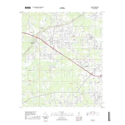
2020 Map of Clinton
USGS Topo · Published 2020About this map
Mississippi College serves as a central anchor for the city of Clinton, a community defined by its educational history and its position along the Natchez Trace Parkway. The landscape is a network of suburban expansion and historical preservation, where older burial grounds like the Cowles Meade Cem and Odd Fellows Cem sit amidst contemporary developments. The geography is carved by several watercourses including Lindsey Cr and Bakers Creek, which flow through the undulating terrain of the t6n r1w and t5n r1w townships.
Find a feature on this map
309 named features on this map. Tap any name to fly to it.
Don’t see what you’re looking for? This feature index may not catch every label — zoom into the map to look around manually.
Map Details
Editions of this 2020 Clinton Map
This is the sole edition of this map. No revisions or reprints were ever made.
Other maps of this area

1903 · Jackson
USGS Topo · 1:125,000

1905 · Jackson
USGS Topo · 1:48,000

1906 · Florence
USGS Topo · 1:62,500

1908 · Jackson
USGS Topo · 1:62,500

1908 · Florence
USGS Topo · 1:62,500

1934 · Raymond
USGS Topo · 1:48,000

1937 · Raymond
USGS Topo · 1:62,500

1937 · Terry
USGS Topo · 1:48,000

1942 · Raymond
USGS Topo · 1:62,500

1943 · Terry
USGS Topo · 1:62,500