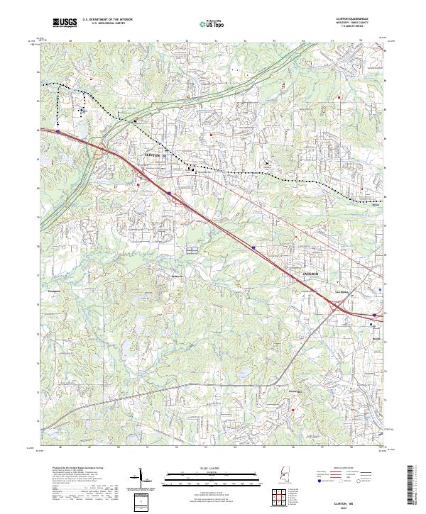
2024 Map of Clinton
USGS Topo · Published 2024About this map
Mississippi College serves as a historic anchor for the city of Clinton, where residential neighborhoods are bordered by several significant burial grounds including Clinton Cem and Cedar Grove Cem. The landscape transitions from the urbanized sprawl of western Jackson and Van Winkle into the more undulating terrain of Hinds County. This modern survey tracks the contemporary path of the Natchez Trace Parkway as it winds through the northwestern corner, cutting through drainage basins like Little Bakers Creek and Bogue Chitto Creek.
Find a feature on this map
49 named features on this map. Tap any name to fly to it.
Don’t see what you’re looking for? This feature index may not catch every label — zoom into the map to look around manually.
Map Details
Editions of this 2024 Clinton Map
This is the sole edition of this map. No revisions or reprints were ever made.
Other maps of this area

1903 · Jackson
USGS Topo · 1:125,000

1905 · Jackson
USGS Topo · 1:48,000

1906 · Florence
USGS Topo · 1:62,500

1908 · Jackson
USGS Topo · 1:62,500

1908 · Florence
USGS Topo · 1:62,500

1934 · Raymond
USGS Topo · 1:48,000

1937 · Raymond
USGS Topo · 1:62,500

1937 · Terry
USGS Topo · 1:48,000

1942 · Raymond
USGS Topo · 1:62,500

1943 · Terry
USGS Topo · 1:62,500