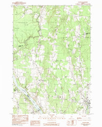
1982 Map of Clinton
USGS Topo · Published 1991About this map
The Kennebec River and Sebasticook River define the local geography of this central Maine landscape, where agricultural tradition and river-borne transport shaped the development of Clinton and Fairfield. The Maine Central railroad corridor parallels the Kennebec, connecting the smaller settlements of Hinckley and Shawmut to the region's broader industrial network. Rising between the river valleys, Battle Ridge overlooks a mosaic of woodlots and gravel operations, with the Town House Hill Church and various family burying grounds, such as Pooler Cem and Saul Cem, anchoring the rural community.
Find a feature on this map
47 named features on this map. Tap any name to fly to it.
Don’t see what you’re looking for? This feature index may not catch every label — zoom into the map to look around manually.
Map Details
Editions of this 1982 Clinton Map
2 editions found
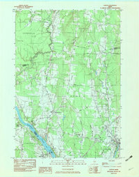
Other maps of this area

1892 · Waterville
USGS Topo · 1:62,500

1913 · Skowhegan
USGS Topo · 1:62,500

1926 · Burnham
USGS Topo · 1:62,500

1930 · Pittsfield
USGS Topo · 1:48,000

1932 · Pittsfield
USGS Topo · 1:62,500

1933 · Pittsfield
USGS Topo · 1:62,500

1943 · Waterville
USGS Topo · 1:62,500

1948 · Bangor
USGS Topo · 1:250,000

1955 · Pittsfield
USGS Topo · 1:62,500

1955 · Skowhegan
USGS Topo · 1:62,500