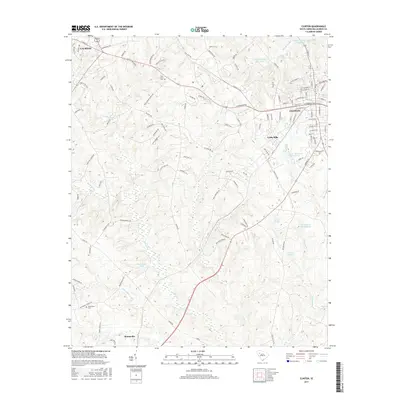
2017 Map of Clinton
USGS Topo · Published 2017About this map
The industrial and rural landscape of Laurens County centers on Clinton and the manufacturing community of Lydia Mills. This area serves as a primary hub for the region's textile heritage, anchored by the Clinton Cotton Mill Pond and a dense network of residential streets like W Carolina Ave and N Broad St. The terrain is defined by the significant waterways of the Little River and Bush River, which drain the rolling South Carolina Piedmont and have historically influenced the placement of early settlements and agricultural tracts.
Find a feature on this map
121 named features on this map. Tap any name to fly to it.
Don’t see what you’re looking for? This feature index may not catch every label — zoom into the map to look around manually.
Map Details
Editions of this 2017 Clinton Map
This is the sole edition of this map. No revisions or reprints were ever made.
Other maps of this area

1892 · Abbeville
USGS Topo · 1:125,000

1941 · Spartanburg
USGS Topo · 1:250,000

1953 · Spartanburg
USGS Topo · 1:250,000

1954 · Greenville
USGS Topo · 1:250,000

1957 · Fountain Inn
USGS Topo · 1:62,500

1958 · Greenville
USGS Topo · 1:250,000

1960 · Spartanburg
USGS Topo · 1:250,000

1963 · Spartanburg
USGS Topo · 1:250,000

1964 · Spartanburg
USGS Topo · 1:250,000

1969 · Ora
USGS Topo · 1:24,000