
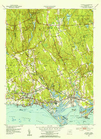
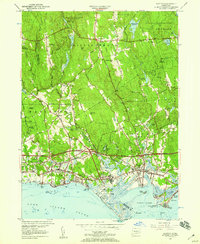
1951 Map of Clinton
USGS Topo · Published 1953About this map
Long Island Sound defines the southern edge of this mid-century survey, where the Hammonasset River and Indian River flow into Clinton Harbor. The shoreline is characterized by recreational and residential growth, featuring Clinton Beach, Ridgewood, and the expansive Hammonasset State Park with its notable Hammonasset Beach. Inland, the terrain rises toward Chestnut Hill and Roast Meat Hill, crossing through the heavily wooded Cockaponset State Forest.
Find a feature on this map
66 named features on this map. Tap any name to fly to it.
Don’t see what you’re looking for? This feature index may not catch every label — zoom into the map to look around manually.
Map Details
Editions of this 1951 Clinton Map
3 editions found
Other maps of this area

1893 · Guilford
USGS Topo · 1:62,500

1893 · Saybrook
USGS Topo · 1:62,500

1943 · Durham
USGS Topo · 1:25,000

1944 · Essex
USGS Topo · 1:31,680

1944 · Deep River
USGS Topo · 1:31,680

1947 · Hartford
USGS Topo · 1:250,000

1948 · Hartford
USGS Topo · 1:250,000
1952 · Deep River
USGS Topo · 1:31,680

1952 · Haddam
USGS Topo · 1:31,680

1953 · Durham
USGS Topo · 1:31,680