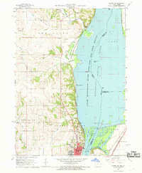
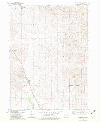
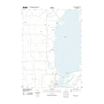
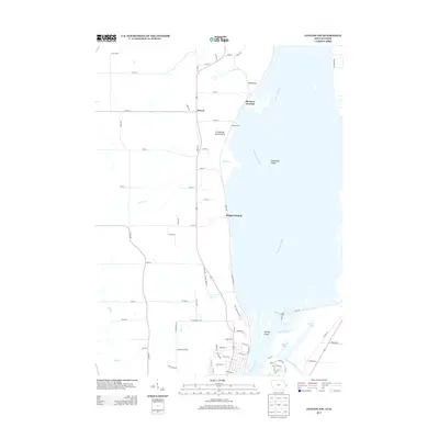
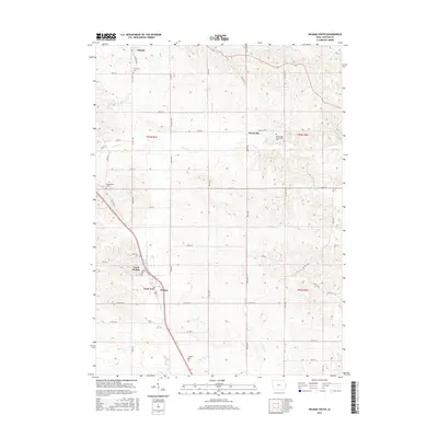
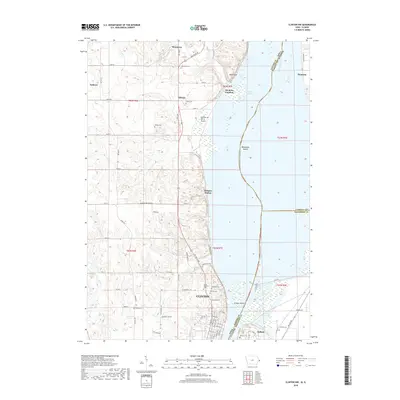
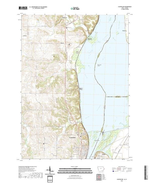
1967 Map of Clinton NW
USGS Topo · Published 1969About this map
The Upper Mississippi River Wild Life and Fish Refuge dominates the eastern half of this 1960s landscape, illustrating the complex riverine geography of Woodruffs Island, Johnson Lake, and Swedes Lake. On the Iowa side, the city of Clinton anchors the southern edge, showing the Job Corps Center and St Irenaeus Sch as significant institutional landmarks.
Find a feature on this map
52 named features on this map. Tap any name to fly to it.
Don’t see what you’re looking for? This feature index may not catch every label — zoom into the map to look around manually.
Map Details
Editions of this 1967 Clinton NW Map
2 editions found
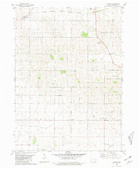
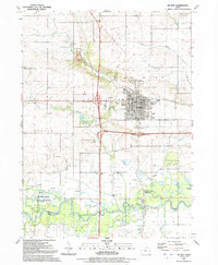
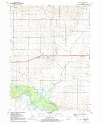
Historical Maps of Clinton Through Time
32 maps found
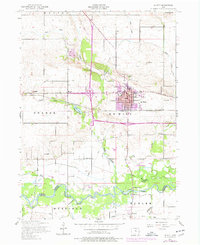
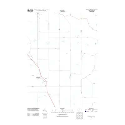
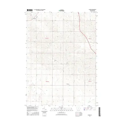
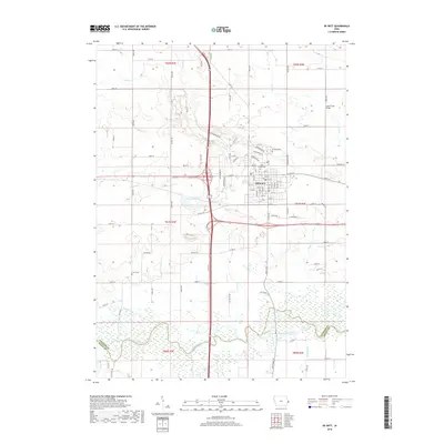
1953 De Witt
Clinton County, IA
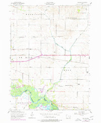
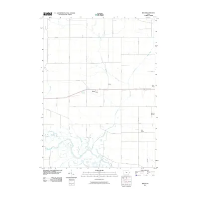
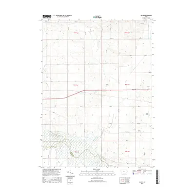
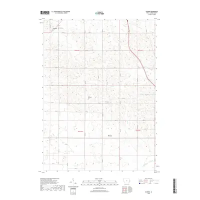
1953 Malone
Clinton County, IA
1967 Clinton NW
Clinton County, IA
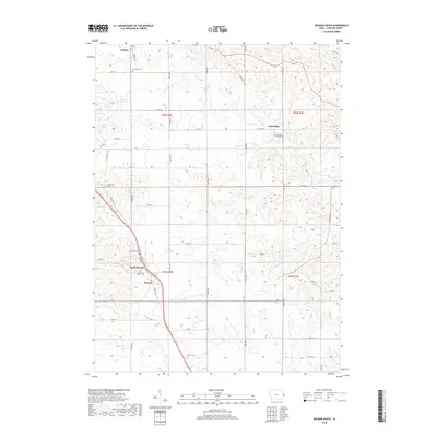
1980 Delmar South
Clinton County, IA
1980 Elwood
Clinton County, IA
1991 De Witt
Clinton County, IA
1991 Malone
Clinton County, IA
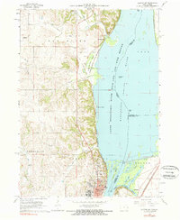
2010 Clinton NW
Clinton County, IA
2010 Delmar South
Clinton County, IA
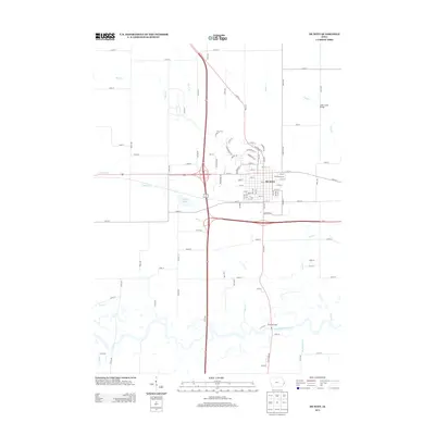
2010 De Witt
Clinton County, IA
2010 Elwood
Clinton County, IA
2010 Malone
Clinton County, IA
2013 Clinton NW
Clinton County, IA
2013 Delmar South
Clinton County, IA
2013 De Witt
Clinton County, IA
2013 Elwood
Clinton County, IA
2013 Malone
Clinton County, IA

2015 Clinton NW
Clinton County, IA
2015 Delmar South
Clinton County, IA
2015 De Witt
Clinton County, IA
2015 Elwood
Clinton County, IA
2015 Malone
Clinton County, IA
2018 Clinton NW
Clinton County, IA
2018 Delmar South
Clinton County, IA
2018 De Witt
Clinton County, IA
2018 Elwood
Clinton County, IA
2018 Malone
Clinton County, IA
2022 Clinton NW
Clinton County, IA
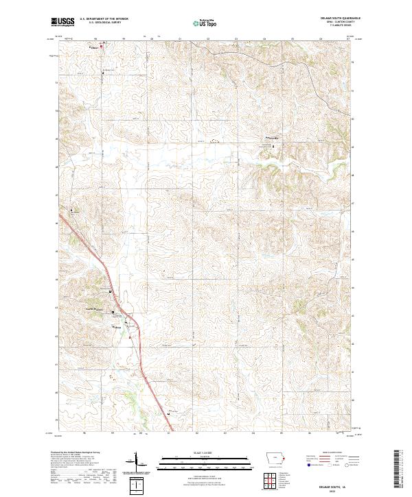
2022 Delmar South
Clinton County, IA
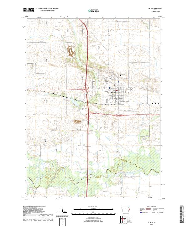
2022 De Witt
Clinton County, IA
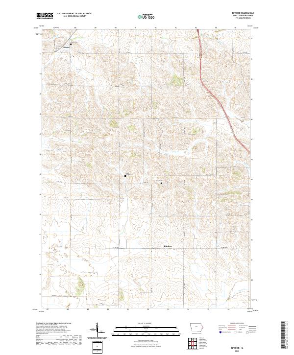
2022 Elwood
Clinton County, IA
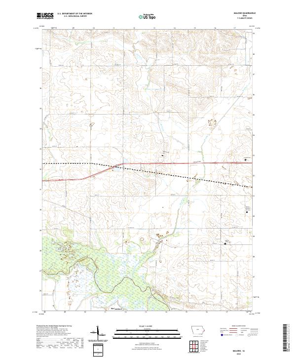
2022 Malone
Clinton County, IA