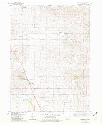
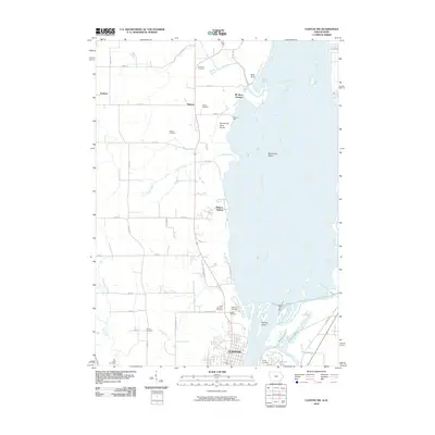
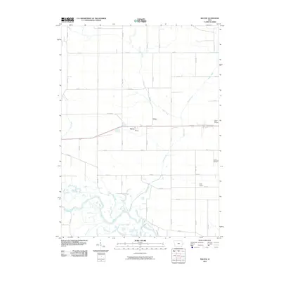
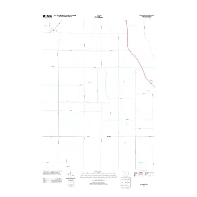
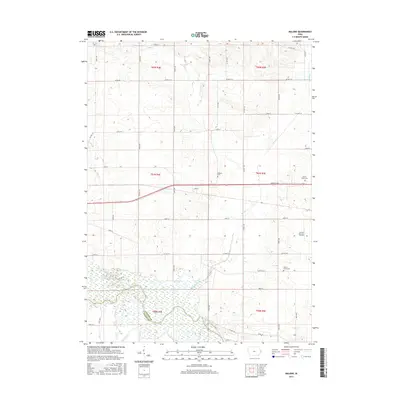
1953 Map of Malone
USGS Topo · Published 1977About this map
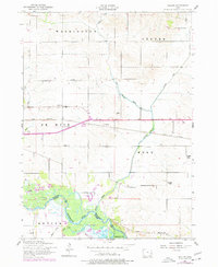
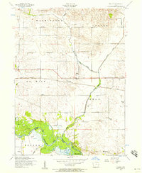
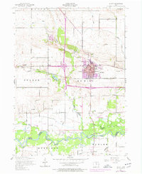
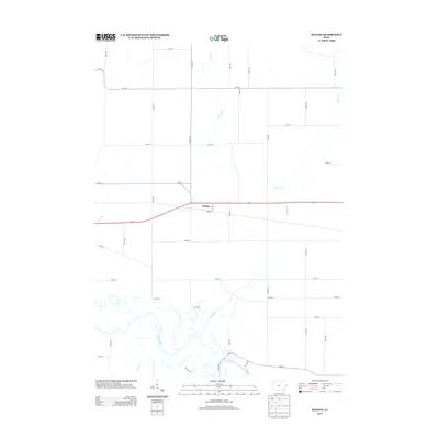
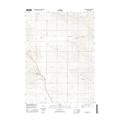
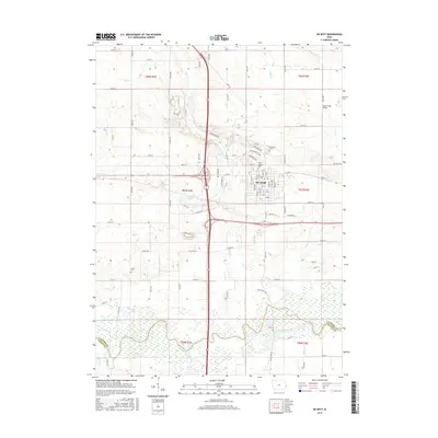
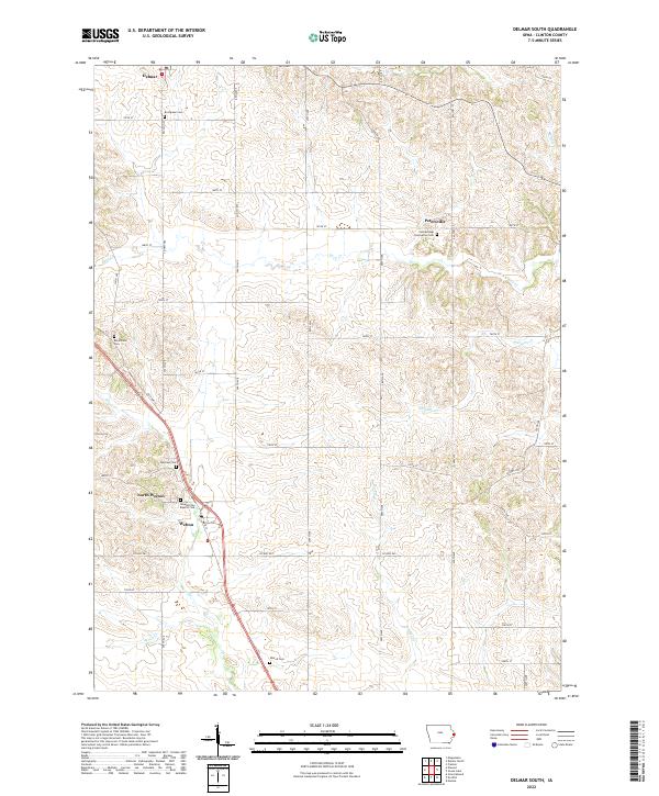
The Wapsipinicon River meanders through the southern portion of this landscape, defining the boundary between Clinton and Scott counties as it feeds into a network of lowlands and creeks. This 1950s survey, updated in the late 1970s, captures a rural corridor anchored by the Chicago and Northwestern railroad. Small clusters of activity like Malone and Ames represent the settlement patterns of the era, while the surrounding townships of De Witt and Eden are dotted with a high density of rural schoolhouses, including Gove School and Hatfield School. Genealogical interest is found in well-preserved landmarks such as the Hill Dannatt Bowers Cemetery and Pehlam Cemetery, which reflect the early farming communities that established themselves along watercourses like Cherry Creek and Brophy Creek.
Find a feature on this map
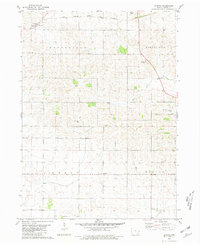
29 named features on this map. Tap any name to fly to it.
Don’t see what you’re looking for? This feature index may not catch every label — zoom into the map to look around manually.
Map Details
Editions of this 1953 Malone Map
2 editions found
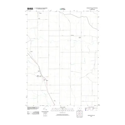
Historical Maps of McCausland Through Time
32 maps found
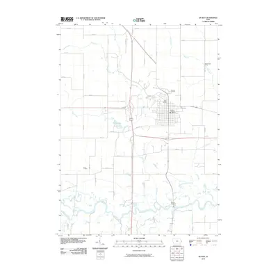
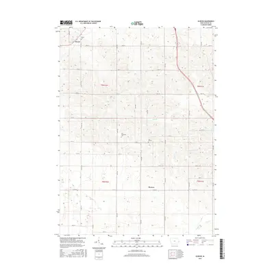
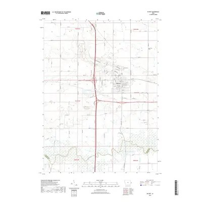
1953 De Witt
Clinton County, IA
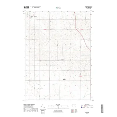
1953 Malone
Clinton County, IA
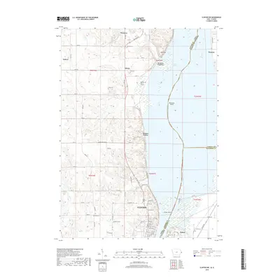
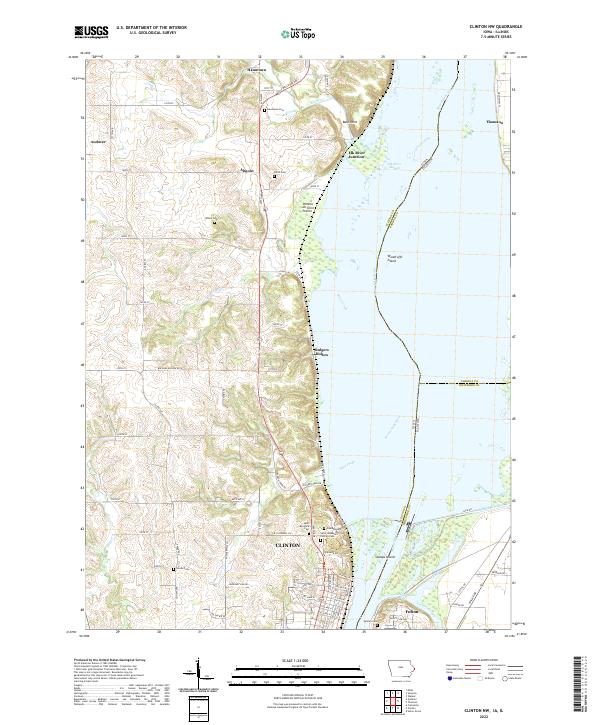
1967 Clinton NW
Clinton County, IA
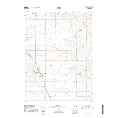
1980 Delmar South
Clinton County, IA
1980 Elwood
Clinton County, IA
1991 De Witt
Clinton County, IA
1991 Malone
Clinton County, IA
2010 Clinton NW
Clinton County, IA
2010 Delmar South
Clinton County, IA
2010 De Witt
Clinton County, IA
2010 Elwood
Clinton County, IA
2010 Malone
Clinton County, IA
2013 Clinton NW
Clinton County, IA
2013 Delmar South
Clinton County, IA
2013 De Witt
Clinton County, IA
2013 Elwood
Clinton County, IA
2013 Malone
Clinton County, IA

2015 Clinton NW
Clinton County, IA
2015 Delmar South
Clinton County, IA
2015 De Witt
Clinton County, IA
2015 Elwood
Clinton County, IA
2015 Malone
Clinton County, IA
2018 Clinton NW
Clinton County, IA
2018 Delmar South
Clinton County, IA
2018 De Witt
Clinton County, IA
2018 Elwood
Clinton County, IA
2018 Malone
Clinton County, IA
2022 Clinton NW
Clinton County, IA
2022 Delmar South
Clinton County, IA
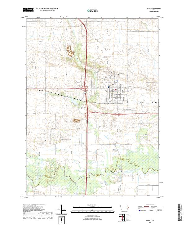
2022 De Witt
Clinton County, IA
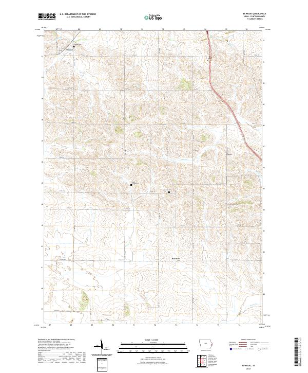
2022 Elwood
Clinton County, IA
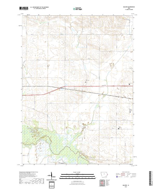
2022 Malone
Clinton County, IA