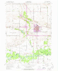
1953 Map of De Witt
USGS Topo · Published 1977About this map
The Wapsipinicon River forms a natural border between Clinton County and Scott County at the southern edge of this mid-century survey. The landscape is defined by the intersection of the Chicago And Northwestern railroad and the growing city of De Witt. While the town center features a concentrated grid including a Hospital and local Fairgrounds, the surrounding countryside is dotted with rural educational and civic landmarks like Unity School and Lincoln School.
Find a feature on this map
29 named features on this map. Tap any name to fly to it.
Don’t see what you’re looking for? This feature index may not catch every label — zoom into the map to look around manually.
Map Details
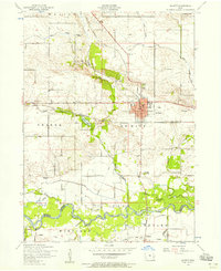
Editions of this 1953 De Witt Map
2 editions found
Other maps of this area

1891 · DeWitt
USGS Topo · 1:62,500

1891 · Davenport
USGS Topo · 1:62,500

1892 · Goose Lake
USGS Topo · 1:62,500

1892 · Leclaire
USGS Topo · 1:62,500

1893 · Leclaire
USGS Topo · 1:62,500

1894 · Goose Lake
USGS Topo · 1:62,500

1894 · Davenport
USGS Topo · 1:62,500

1899 · Clinton
USGS Topo · 1:125,000

1901 · Rock Island
USGS Topo · 1:125,000

1910 · Rock Island
USGS Topo · 1:125,000