Loading...
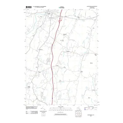
Loading map...1957 Map of Clintondale
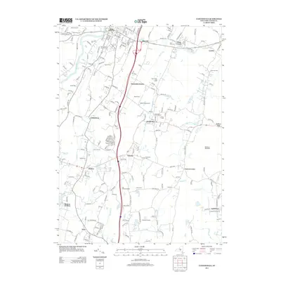
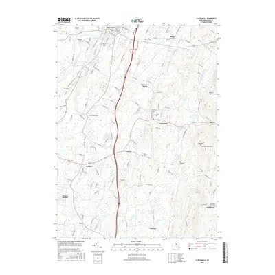
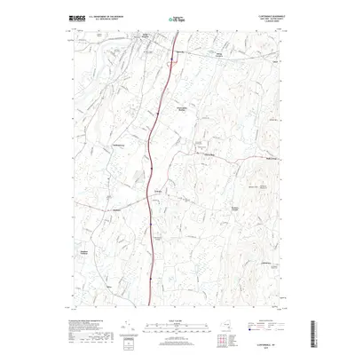
USGS Topo · Published 1968About this map
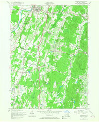
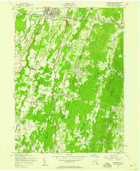
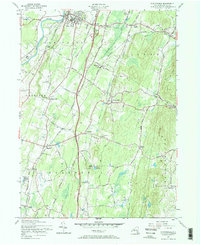
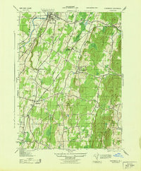
The Wallkill River flows along the western edge of this mid-century survey, anchoring a landscape where agricultural traditions met post-war infrastructure. The town of New Paltz is a primary focal point, home to the State Teachers College and the historical New Paltz Cem. Development radiates from the village center toward Putt Corners and Ohioville, while the New York State Thruway slices through the central corridor, signaling the era's shift toward high-speed automobile travel.
Find a feature on this map
97 named features on this map. Tap any name to fly to it.
Don’t see what you’re looking for? This feature index may not catch every label — zoom into the map to look around manually.
Map Details
Date Portrayed1957
Date Published1968
PublisherU.S. Geological Survey
Map TypeTopographic
Scale1:24,000
Physical Dimensions22 x 27 inches
Editions of this 1957 Clintondale Map
Historical Maps of New Paltz Through Time
7 maps found

Featured Locations
Source Details
SourceU.S. Geological Survey
CopyrightPublic Domain