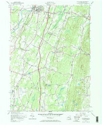
1957 Map of Clintondale
USGS Topo · Published 1968About this map
The Wallkill River defines the western edge of this mid-century landscape, where the established village of New Paltz sits near the State Teachers College and St Josephs Ch. This 1950s record captures the transition from traditional rail transport to the modern highway era, showing the New York New Haven and Hartford Railroad crossing the terrain while the New York State Thruway cuts a direct north-south path through the center. Small hamlets like Clintondale and Modena anchor the local road network, while the rugged profile of Illinois Mountain and Baileys Gap rises to the east. Genealogists will find value in the clear marking of cemeteries such as New Paltz Cem and Lloyd Union Cem, along with local landmarks like the DuBois Landing Field and the seasonal Camp Sunset near Lake Sunset.
Find a feature on this map
92 named features on this map. Tap any name to fly to it.
Don’t see what you’re looking for? This feature index may not catch every label — zoom into the map to look around manually.
Map Details
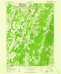
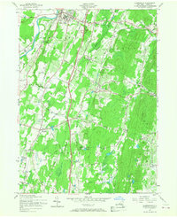
Editions of this 1957 Clintondale Map
Other maps of this area

1893 · Poughkeepsie
USGS Topo · 1:62,500

1894 · Poughkeepsie
USGS Topo · 1:62,500

1898 · Rhinebeck
USGS Topo · 1:62,500

1901 · Rosendale
USGS Topo · 1:62,500

1903 · Poughkeepsie
USGS Topo · 1:62,500

1903 · Newburg
USGS Topo · 1:62,500

1903 · Rosendale
USGS Topo · 1:62,500

1934 · Rhinebeck
USGS Topo · 1:48,000

1936 · Poughkeepsie
USGS Topo · 1:48,000

1939 · Rhinebeck
USGS Topo · 1:62,500