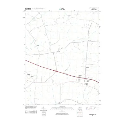
2010 Map of Clintonville
USGS Topo · Published 2010About this map
Clintonville and Avon anchor this 2010 topographic record of the landscape northeast of Lexington, showing a region defined by agricultural traditions and modern transportation corridors. The map reveals a transition between rural crossroads like Fenwick and Chilesburg and burgeoning residential developments such as Wayland Heights Addition and Verna Hills. A network of historic thoroughfares, including Bryan Station Rd and Muir Station Rd, crisscrosses the terrain, often following the winding paths of local waterways like Houston Creek and Hutchison Creek.
Find a feature on this map
38 named features on this map. Tap any name to fly to it.
Don’t see what you’re looking for? This feature index may not catch every label — zoom into the map to look around manually.
Map Details
Editions of this 2010 Clintonville Map
This is the sole edition of this map. No revisions or reprints were ever made.
Other maps of this area

1892 · Richmond
USGS Topo · 1:125,000

1897 · Richmond
USGS Topo · 1:125,000

1927 · Lexington
USGS Topo · 1:48,000

1929 · Lexington
USGS Topo · 1:62,500

1950 · Lexington East
USGS Topo · 1:24,000

1952 · Paris East
USGS Topo · 1:24,000

1952 · Coletown
USGS Topo · 1:24,000

1952 · Clintonville
USGS Topo · 1:24,000

1952 · Austerlitz
USGS Topo · 1:24,000

1952 · Ford
USGS Topo · 1:24,000