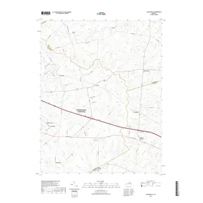
2019 Map of Clintonville
USGS Topo · Published 2019About this map
Lexington-Fayette and the surrounding Bluegrass countryside are defined by a network of historic thoroughfares and rural crossroads. This 2019 survey captures the landscape where Fayette, Bourbon, and Clark counties meet, showcasing established settlements such as Clintonville, Old Pine Grove, and Uttingertown. The geography is etched by the winding paths of Hutchison Creek and Boone Creek, which drain the undulating terrain. A distinct aviation presence is noted through the Air Castle Airport and Wild Blue Airport, while the region's agricultural and transit legacy is evidenced by names like Muir Station Road and Walnut Station Road. The southeastern portion of the map includes the community of Pine Grove and the notable Coal Field, suggesting the diverse economic activities that have shaped this Kentucky interior over the decades.
Find a feature on this map
57 named features on this map. Tap any name to fly to it.
Don’t see what you’re looking for? This feature index may not catch every label — zoom into the map to look around manually.
Map Details
Editions of this 2019 Clintonville Map
This is the sole edition of this map. No revisions or reprints were ever made.
Other maps of this area

1892 · Richmond
USGS Topo · 1:125,000

1897 · Richmond
USGS Topo · 1:125,000

1927 · Lexington
USGS Topo · 1:48,000

1929 · Lexington
USGS Topo · 1:62,500

1950 · Lexington East
USGS Topo · 1:24,000

1952 · Paris East
USGS Topo · 1:24,000

1952 · Coletown
USGS Topo · 1:24,000

1952 · Clintonville
USGS Topo · 1:24,000

1952 · Austerlitz
USGS Topo · 1:24,000

1952 · Ford
USGS Topo · 1:24,000