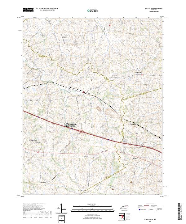
2022 Map of Clintonville
USGS Topo · Published 2022About this map
The rolling Bluegrass country at the border of Fayette, Bourbon, and Clark counties is defined by its deep agricultural roots and established rural settlements. Clintonville sits as a central point of reference in this landscape, where the headwaters of Hutchison Cr and Houston Cr begin their northward flow. The map documents the persistent layout of historic communities like Chilesburg and Uttingertown, alongside newer aviation markers such as Wild Blue Airport and Air Castle Airport.
Find a feature on this map
69 named features on this map. Tap any name to fly to it.
Don’t see what you’re looking for? This feature index may not catch every label — zoom into the map to look around manually.
Map Details
Editions of this 2022 Clintonville Map
This is the sole edition of this map. No revisions or reprints were ever made.
Other maps of this area

1892 · Richmond
USGS Topo · 1:125,000

1897 · Richmond
USGS Topo · 1:125,000

1927 · Lexington
USGS Topo · 1:48,000

1929 · Lexington
USGS Topo · 1:62,500

1950 · Lexington East
USGS Topo · 1:24,000

1952 · Paris East
USGS Topo · 1:24,000

1952 · Coletown
USGS Topo · 1:24,000

1952 · Clintonville
USGS Topo · 1:24,000

1952 · Austerlitz
USGS Topo · 1:24,000

1952 · Ford
USGS Topo · 1:24,000