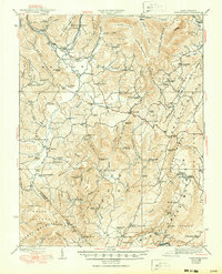
1939 Map of Clintonville
USGS Topo · Published 1950About this map
Meadow River carves a deep path through this 1930s landscape, bordering the Chesapeake and Ohio RR as it winds through the northern reaches of Rupert. This era in West Virginia reveals a dense network of mountain communities and family-named landmarks, most notably the numerous rural schoolhouses that served the valley, such as the State Flower School and Dougher School. The map captures a moment when local industry and faith were centered around landmarks like Pierrys Mill and the Sam Black Church.
Find a feature on this map
110 named features on this map. Tap any name to fly to it.
Don’t see what you’re looking for? This feature index may not catch every label — zoom into the map to look around manually.
Map Details
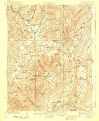
Editions of this 1939 Clintonville Map
2 editions found
Other maps of this area

1887 · Hinton
USGS Topo · 1:125,000

1887 · Lewisburg
USGS Topo · 1:125,000

1889 · Nicholas
USGS Topo · 1:125,000

1891 · Lewisburg
USGS Topo · 1:125,000

1891 · Nicholas
USGS Topo · 1:125,000

1891 · Huntersville
USGS Topo · 1:125,000

1892 · Hinton
USGS Topo · 1:125,000

1894 · Huntersville
USGS Topo · 1:125,000

1901 · Nicholas
USGS Topo · 1:125,000

1912 · Meadow Creek
USGS Topo · 1:48,000