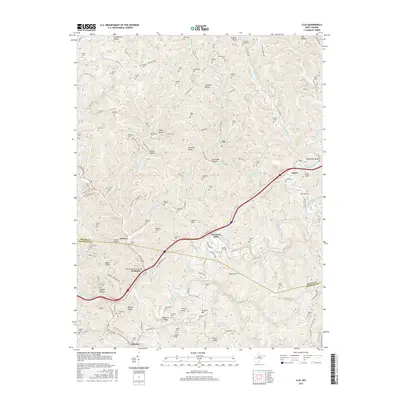
2016 Map of Clio
USGS Topo · Published 2016About this map
Big Sandy Creek winds through the heart of this Appalachian landscape, defining the movement of people and commerce between Roane and Kanawha counties. The settlement of Osbornes Mills serves as a primary local hub, located just north of where the McQuain Brothers Bridge crosses the water. This 2016 record shows a territory shaped by intricate drainage systems like Left Hand Creek and Pigeon Run, with small communities such as Clio, Amma, and Wellford connected by a network of winding county routes.
Find a feature on this map
154 named features on this map. Tap any name to fly to it.
Don’t see what you’re looking for? This feature index may not catch every label — zoom into the map to look around manually.
Map Details
Editions of this 2016 Clio Map
This is the sole edition of this map. No revisions or reprints were ever made.
Other maps of this area

1897 · Kanawha Falls
USGS Topo · 1:125,000

1900 · Kanawha Falls
USGS Topo · 1:125,000

1901 · Kanawha Falls
USGS Topo · 1:125,000

1906 · Otter
USGS Topo · 1:62,500

1906 · Walton
USGS Topo · 1:62,500

1907 · Otter
USGS Topo · 1:62,500

1907 · Walton
USGS Topo · 1:62,500

1907 · Clendenin
USGS Topo · 1:62,500

1908 · Clay
USGS Topo · 1:48,000

1909 · Clendenin
USGS Topo · 1:62,500