Loading...
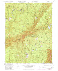
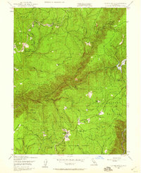
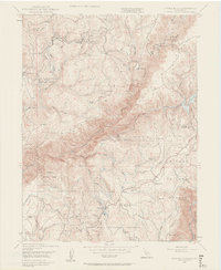
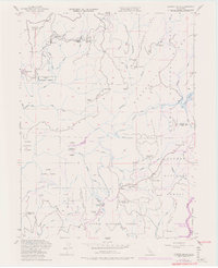
Loading map...1948 Map of Clipper Mills
USGS Topo · Published 1978About this map
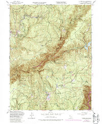
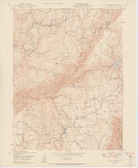
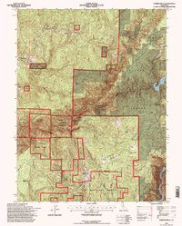
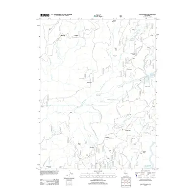
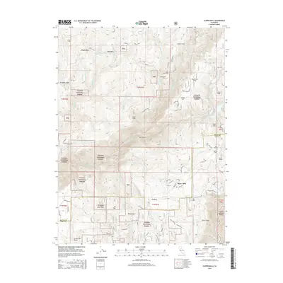
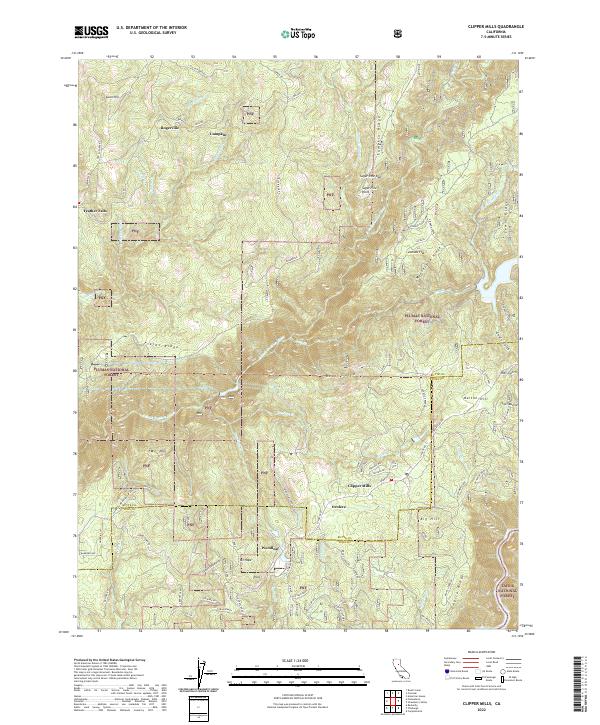
Clipper Mills and its surrounding mountain ridges define this 1948 survey of the southern Sierras, captured just as the region's timber and hydroelectric infrastructure was evolving. The map reveals a landscape of isolated settlements and specialized resource sites, from the Clipper Mills School to the Forbestown Diversion Dam. The industrial character of the era is evident in the scattered mining operations such as the Triumph Mine and Monte de Oro Mine, alongside evidence of local timber processing at the Sawmill near Woodleaf.
Find a feature on this map
57 named features on this map. Tap any name to fly to it.
Don’t see what you’re looking for? This feature index may not catch every label — zoom into the map to look around manually.
Map Details
Date Portrayed1948
Date Published1978
PublisherU.S. Geological Survey
Map TypeTopographic
Scale1:24,000
Physical Dimensions21.9 x 26.6 inches
Editions of this 1948 Clipper Mills Map
5 editions found
Historical Maps of Woodleaf Through Time
7 maps found
Featured Locations
Source Details
SourceU.S. Geological Survey
CopyrightPublic Domain