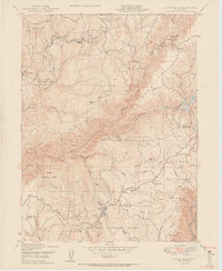
1950 Map of Clipper Mills
USGS Topo · Published 1950About this map
Clipper Mills and Woodleaf anchor this mid-century survey of the rugged interface between Butte and Yuba counties. The landscape is defined by the deep incisions of the South Fork Feather River and the North Fork Yuba River, with high-elevation ridges like Lumpkin Ridge and Lewis Ridge separating the watersheds. Evidence of the region's industrial and agricultural past is scattered throughout, from the Triumph Mine and Monte de Oro Mine to the localized operations of a Mill at Jackass Flat and a Sawmill near Woodleaf.
Find a feature on this map
56 named features on this map. Tap any name to fly to it.
Don’t see what you’re looking for? This feature index may not catch every label — zoom into the map to look around manually.
Map Details
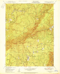
Editions of this 1950 Clipper Mills Map
2 editions found
Other maps of this area

1888 · Smartsville
USGS Topo · 1:125,000

1888 · Bidwell Bar
USGS Topo · 1:125,000

1891 · Bidwell Bar
USGS Topo · 1:125,000

1891 · Smartsville
USGS Topo · 1:125,000

1892 · Smartsville
USGS Topo · 1:125,000

1893 · Bidwell Bar
USGS Topo · 1:125,000

1894 · Smartsville
USGS Topo · 1:125,000

1895 · Bidwell Bar
USGS Topo · 1:125,000

1895 · Smartsville
USGS Topo · 1:125,000

1897 · Bidwell Bar
USGS Topo · 1:125,000