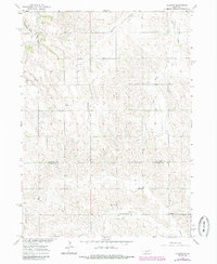
1963 Map of Closter
USGS Topo · Published 1985About this map
The boundary between Antelope County and Boone County runs through this rural landscape, which is defined by a dense network of watercourses and early social centers. The small settlement of Closter sits in the southeast, serving as a focal point for the surrounding farmstead community. Education and faith are central to the area's development, evidenced by Star School and School No. 33, alongside Star Church and the North Branch Zion Church. The terrain is deeply etched by numerous drainages, including Blacksnake Creek, Saint Clair Creek, and Ives Creek, which dictate the placement of roads and homesteads. Local history is further preserved at Zion West Cemetery, providing a specific geographic anchor for genealogical research in this part of the Nebraska plains during the mid-20th century.
Find a feature on this map
13 named features on this map. Tap any name to fly to it.
Don’t see what you’re looking for? This feature index may not catch every label — zoom into the map to look around manually.
Map Details
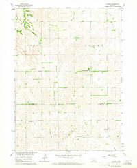
Editions of this 1963 Closter Map
2 editions found
Other maps of this area

1955 · Broken Bow
USGS Topo · 1:250,000

1955 · Sioux City
USGS Topo · 1:250,000

1955 · Fremont
USGS Topo · 1:250,000

1955 · O'Neill
USGS Topo · 1:250,000

1956 · Broken Bow
USGS Topo · 1:250,000

1957 · Fremont
USGS Topo · 1:250,000

1958 · Sioux City
USGS Topo · 1:250,000

1958 · Fremont
USGS Topo · 1:250,000

1959 · O'Neill
USGS Topo · 1:250,000

1959 · Sioux City
USGS Topo · 1:250,000