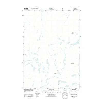
2012 Map of Cloud Peak
USGS Topo · Published 2012About this map
Cloud Peak and Black Tooth Mountain anchor this high-elevation alpine landscape in the Bighorn Mountains. The terrain is defined by a dense concentration of glacial lakes and reservoirs, including the notable Kearny Lake Reservoir and the uniquely named Cross-Greek Reservoir in the north. This 2012 survey illustrates a landscape primarily shaped by water and rock, where drainage systems like Kearny Cr and Canyon Cr flow from high basins such as Upper Crater Lake and Glacier Lake. The presence of the Highland Park Campground near Lake Winnie indicates the area's significance for backcountry recreation. Other prominent summits like Mount Woolsey and Penrose Peak further define the high ridgelines, while the scattered Sawtooth Lakes and South Piney Lakes reflect the complex hydrology of this mountain environment.
Find a feature on this map
33 named features on this map. Tap any name to fly to it.
Don’t see what you’re looking for? This feature index may not catch every label — zoom into the map to look around manually.
Map Details
Editions of this 2012 Cloud Peak Map
This is the sole edition of this map. No revisions or reprints were ever made.
Other maps of this area

1895 · Dayton
USGS Topo · 1:125,000

1899 · Cloud peak
USGS Topo · 1:125,000

1901 · Cloud Peak
USGS Topo · 1:125,000

1901 · Dayton
USGS Topo · 1:125,000

1955 · Sheridan
USGS Topo · 1:250,000

1958 · Sheridan
USGS Topo · 1:250,000

1960 · Shell Lake
USGS Topo · 1:24,000

1960 · Lake Solitude
USGS Topo · 1:24,000

1962 · Sheridan
USGS Topo · 1:250,000
1964 · Dome Lake
USGS Topo · 1:24,000