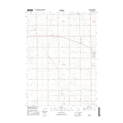
2017 Map of Clover
USGS Topo · Published 2017About this map
Clover and the surrounding irrigation-driven landscape of Twin Falls County appear here in detail. The settlement patterns are defined by a rigorous grid of section roads like Poleline Rd and Co Rd, supporting the agricultural economy of the Magic Valley. Essential water infrastructure is central to the area’s layout, featuring the significant High Line Canal, the Low Line Canal, and the natural drainage of Cedar Draw. This 2017 survey documents several small named locales, including Cedar, Peavey, and the western edge of Filer. To the northwest, the Buhl Cem stands as a local landmark near the junction of E Elm St and E 4200 N, illustrating the community's established history within this productive high-desert region.
Find a feature on this map
36 named features on this map. Tap any name to fly to it.
Don’t see what you’re looking for? This feature index may not catch every label — zoom into the map to look around manually.
Map Details
Editions of this 2017 Clover Map
This is the sole edition of this map. No revisions or reprints were ever made.
Other maps of this area

1949 · Thousand Springs
USGS Topo · 1:24,000

1950 · Niagara Springs
USGS Topo · 1:24,000

1950 · Filer
USGS Topo · 1:24,000

1950 · Jerome
USGS Topo · 1:24,000

1950 · Jerome
USGS Topo · 1:62,500

1951 · Thousand Springs
USGS Topo · 1:24,000

1951 · Clover
USGS Topo · 1:24,000

1954 · Thousand Springs
USGS Topo · 1:24,000

1955 · Twin Falls
USGS Topo · 1:250,000

1958 · Twin Falls
USGS Topo · 1:250,000