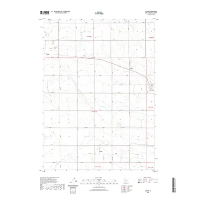
2020 Map of Clover
USGS Topo · Published 2020About this map
The agrarian landscape of the Magic Valley is defined by the managed waters of the High Line Canal and Low Line Canal, which carve through the grid-patterned fields south of the Snake River. On the western edge of this survey, the city of Buhl is represented alongside the Buhl Cem, while the small community of Clover serves as a southern anchor for the local farming network. The terrain is relatively uniform, though the natural drainage of Cedar Draw cuts through the northeast, passing near the settlement of Filer. A web of strictly oriented section-line roads, including Poleline Rd and E 4100 N, connects localized points like Cedar and Peavey. This 2020 record illustrates the enduring importance of irrigation infrastructure to the development of Twin Falls County, showing how water rights and road networks have shaped the placement of these high-desert settlements.
Find a feature on this map
35 named features on this map. Tap any name to fly to it.
Don’t see what you’re looking for? This feature index may not catch every label — zoom into the map to look around manually.
Map Details
Editions of this 2020 Clover Map
This is the sole edition of this map. No revisions or reprints were ever made.
Other maps of this area

1949 · Thousand Springs
USGS Topo · 1:24,000

1950 · Niagara Springs
USGS Topo · 1:24,000

1950 · Filer
USGS Topo · 1:24,000

1950 · Jerome
USGS Topo · 1:24,000

1950 · Jerome
USGS Topo · 1:62,500

1951 · Thousand Springs
USGS Topo · 1:24,000

1951 · Clover
USGS Topo · 1:24,000

1954 · Thousand Springs
USGS Topo · 1:24,000

1955 · Twin Falls
USGS Topo · 1:250,000

1958 · Twin Falls
USGS Topo · 1:250,000