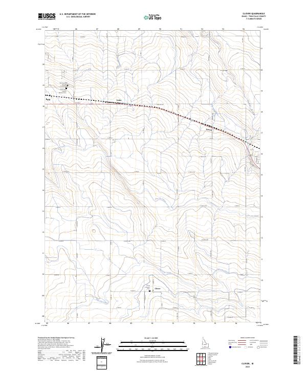
2023 Map of Clover
USGS Topo · Published 2023About this map
Agricultural development in Twin Falls County is defined by the sophisticated irrigation networks of the Low Line Canal and High Line Canal, which transformed this arid Idaho landscape into a productive farming region. Small settlements like Clover, Peavey, and Cedar serve as community hubs connected by a rigid grid of section roads including Poleline Rd and E 4100 N. The map reveals the area's social fabric through its burial grounds, ranging from the local Clover Lutheran Cem and West End Cem to the significant Snake River Canyon National Cem on the edge of Buhl. These features, alongside the natural drainage of Cedar Draw, illustrate the long-term human effort to manage water and establish permanent roots in the Magic Valley.
Find a feature on this map
35 named features on this map. Tap any name to fly to it.
Don’t see what you’re looking for? This feature index may not catch every label — zoom into the map to look around manually.
Map Details
Editions of this 2023 Clover Map
This is the sole edition of this map. No revisions or reprints were ever made.
Other maps of this area

1949 · Thousand Springs
USGS Topo · 1:24,000

1950 · Niagara Springs
USGS Topo · 1:24,000

1950 · Filer
USGS Topo · 1:24,000

1950 · Jerome
USGS Topo · 1:24,000

1950 · Jerome
USGS Topo · 1:62,500

1951 · Thousand Springs
USGS Topo · 1:24,000

1951 · Clover
USGS Topo · 1:24,000

1954 · Thousand Springs
USGS Topo · 1:24,000

1955 · Twin Falls
USGS Topo · 1:250,000

1958 · Twin Falls
USGS Topo · 1:250,000