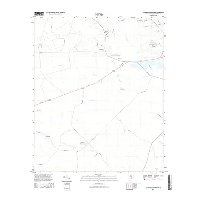
2014 Map of Clubhouse Crossroads
USGS Topo · Published 2014About this map
Clubhouse Crossroads serves as a central junction in this South Carolina landscape where local roads converge near the winding waters of Fishburne Cr. The area is defined by its small, spread-out settlements such as Gettysville, Canaan, and Coachmans Corners, which reflect the rural character of the Lowcountry. Along the banks of the Ashley River and near Bobs Lake, the terrain remains low-lying, punctuated by slight elevations like Rosom Hill and Raven Hill.
Find a feature on this map
51 named features on this map. Tap any name to fly to it.
Don’t see what you’re looking for? This feature index may not catch every label — zoom into the map to look around manually.
Map Details
Editions of this 2014 Clubhouse Crossroads Map
This is the sole edition of this map. No revisions or reprints were ever made.
Other maps of this area

1918 · Cottageville
USGS Topo · 1:62,500

1919 · Summerville
USGS Topo · 1:48,000

1919 · Ridgeville
USGS Topo · 1:48,000

1920 · Ravenels
USGS Topo · 1:62,500

1920 · Ridgeville
USGS Topo · 1:62,500

1920 · Summerville
USGS Topo · 1:62,500

1943 · Cottageville
USGS Topo · 1:62,500

1943 · Ridgeville
USGS Topo · 1:62,500

1944 · Ravenels
USGS Topo · 1:62,500

1944 · Summerville
USGS Topo · 1:62,500