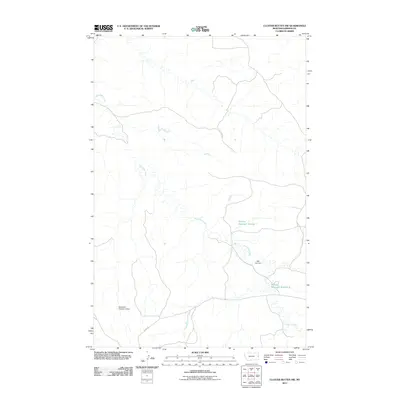
2011 Map of Cluster Buttes NW
USGS Topo · Published 2011About this map
Box Elder Creek meanders through this portion of Dawson County, providing a vital water source for the ranching infrastructure found here in the early 21st century. The drainage pattern is defined by several water management features, including the Mill Iron Dam and the Box Elder Number 2 Dam, which support localized water storage in this semi-arid landscape. These structures create the Milliron Reservoir Number 1 and Milliron Reservoir Number 2, essential for land use in this part of Montana. Transportation through the area is limited to rural routes, most notably Road 328, which traverses the landscape to connect these remote water features. The map illustrates a high degree of reliance on water engineering to sustain activity in the plains environment.
Find a feature on this map
6 named features on this map. Tap any name to fly to it.
Don’t see what you’re looking for? This feature index may not catch every label — zoom into the map to look around manually.
Map Details
Editions of this 2011 Cluster Buttes NW Map
This is the sole edition of this map. No revisions or reprints were ever made.
Other maps of this area

1909 · Glendive
USGS Topo · 1:250,000

1954 · Glendive
USGS Topo · 1:250,000

1957 · Glendive
USGS Topo · 1:250,000

1958 · Glendive
USGS Topo · 1:250,000

1966 · Savage SE
USGS Topo · 1:24,000

1966 · Savage SW
USGS Topo · 1:24,000

1966 · Intake
USGS Topo · 1:24,000

1967 · Allard
USGS Topo · 1:24,000

1967 · Belle Prairie
USGS Topo · 1:24,000

1981 · Glendive
USGS Topo · 1:100,000