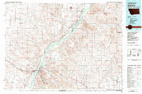
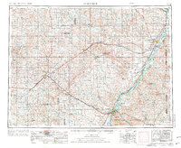
1981 Map of Glendive
USGS Topo · Published 1981About this map
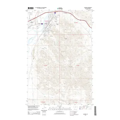
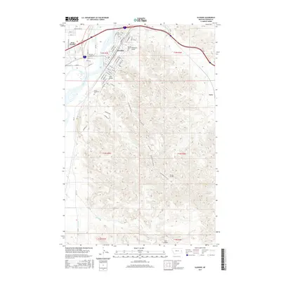
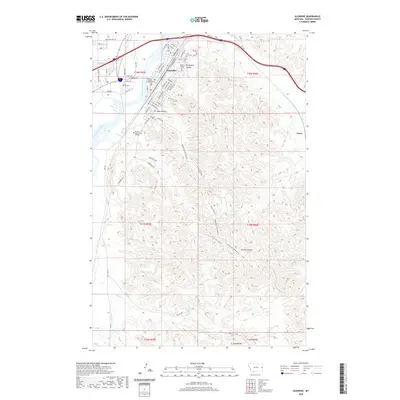
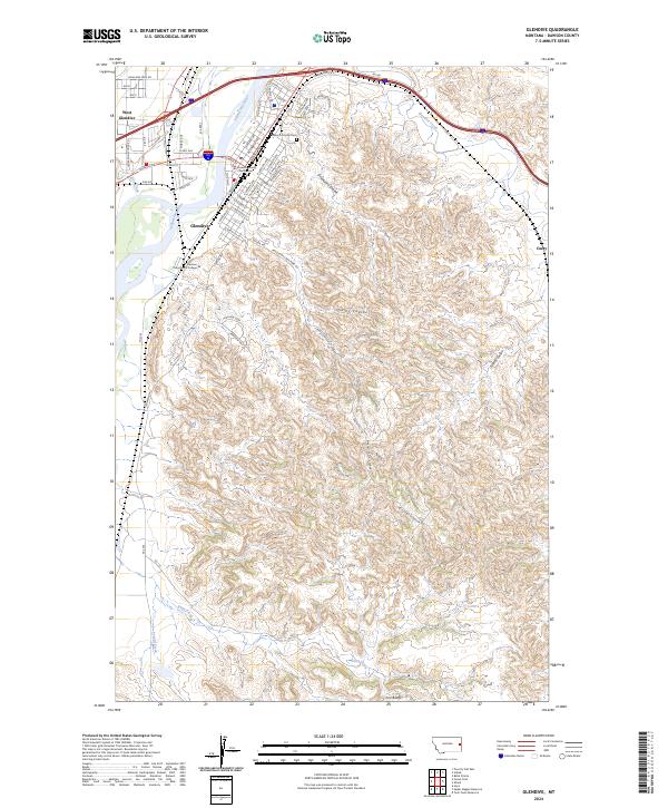
The Yellowstone River anchors this 1981 survey as it cuts a wide valley through the plains of eastern Montana and western North Dakota. The city of Glendive serves as the regional hub, situated near the dramatic badlands topography of Makoshika State Park and the Dawson County Fairground. The influence of the Burlington Northern railroad is evident, tracing the river's path and connecting small agricultural sidings and settlements like Intake, Savage, and Stipek.
Find a feature on this map
49 named features on this map. Tap any name to fly to it.
Don’t see what you’re looking for? This feature index may not catch every label — zoom into the map to look around manually.
Map Details
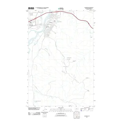
Editions of this 1981 Glendive Map
This is the sole edition of this map. No revisions or reprints were ever made.
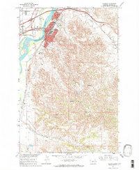
Historical Maps of Glendive Through Time
11 maps found

1909 Glendive
Dawson County, MT
1954 Glendive
Dawson County, MT

1957 Glendive
Dawson County, MT

1958 Glendive
Dawson County, MT
1967 Glendive
Dawson County, MT
1981 Glendive
Dawson County, MT
2011 Glendive
Dawson County, MT
2014 Glendive
Dawson County, MT
2017 Glendive
Dawson County, MT
2020 Glendive
Dawson County, MT
2024 Glendive
Dawson County, MT