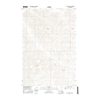
2017 Map of Cluster Buttes NW
USGS Topo · Published 2017About this map
Box Elder Creek carves a winding path through the dissected high plains of Dawson County, defining a landscape of complex drainage patterns and relief. This 2017 survey by the U.S. Geological Survey captures a sparsely populated ranching or agricultural environment where water management is central to land use. Two significant artificial impoundments, Milliron Reservoir Number 1 and Milliron Reservoir Number 2, serve as critical landmarks in a region dominated by the Public Land Survey System grids of t17n r57e and t16n r58e. The absence of named towns reflects the open-range character of eastern Montana, where the primary infrastructure consists of rural routes like RD 328 and RD 322. This map provides a detailed view of the modern topography and property boundaries that continue to shape the local economy.
Find a feature on this map
9 named features on this map. Tap any name to fly to it.
Don’t see what you’re looking for? This feature index may not catch every label — zoom into the map to look around manually.
Map Details
Editions of this 2017 Cluster Buttes NW Map
This is the sole edition of this map. No revisions or reprints were ever made.
Other maps of this area

1909 · Glendive
USGS Topo · 1:250,000

1954 · Glendive
USGS Topo · 1:250,000

1957 · Glendive
USGS Topo · 1:250,000

1958 · Glendive
USGS Topo · 1:250,000

1966 · Savage SE
USGS Topo · 1:24,000

1966 · Savage SW
USGS Topo · 1:24,000

1966 · Intake
USGS Topo · 1:24,000

1967 · Allard
USGS Topo · 1:24,000

1967 · Belle Prairie
USGS Topo · 1:24,000

1981 · Glendive
USGS Topo · 1:100,000